Watch 516 Outline
Issued:
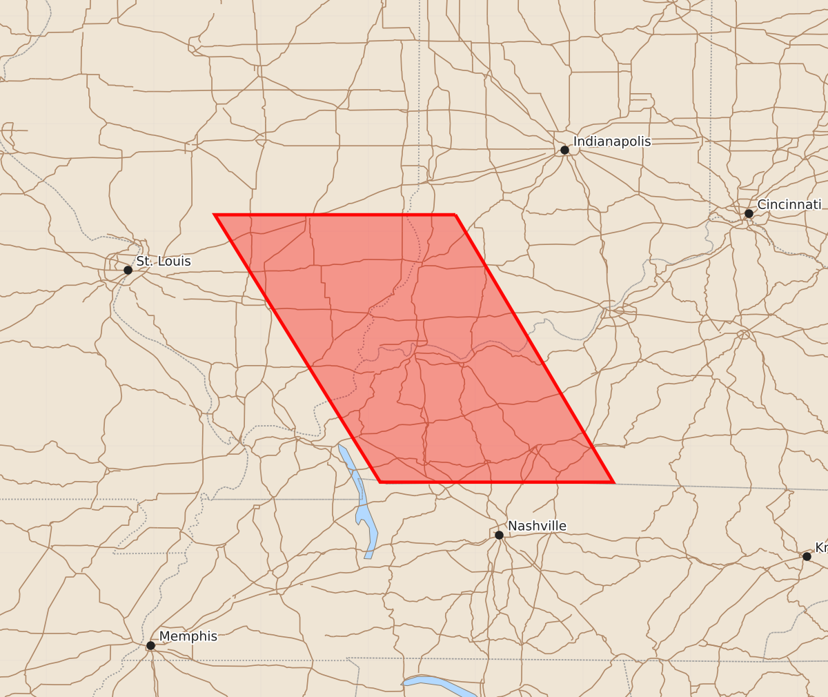
Summary
A severe thunderstorm watch is in effect for parts of southern Illinois and Kentucky until early tomorrow morning, with potential for two-inch hail and sixty-knot wind gusts.
Product Text
000 WWUS30 KWNS 262212 SAW6 SPC AWW 262212 WW 516 SEVERE TSTM IL IN KY 262210Z - 270500Z AXIS..60 STATUTE MILES EAST AND WEST OF LINE.. 50NE SLO/SALEM IL/ - 30SW BWG/BOWLING GREEN KY/ ..AVIATION COORDS.. 50NM E/W /43SE AXC - 24SW BWG/ HAIL SURFACE AND ALOFT..2 INCHES. WIND GUSTS..60 KNOTS. MAX TOPS TO 550. MEAN STORM MOTION VECTOR 33025. LAT...LON 39158719 36668572 36668789 39158943 THIS IS AN APPROXIMATION TO THE WATCH AREA. FOR A COMPLETE DEPICTION OF THE WATCH SEE WOUS64 KWNS FOR WOU6.