Mesoscale Discussion 1717
Issued: · Valid: –
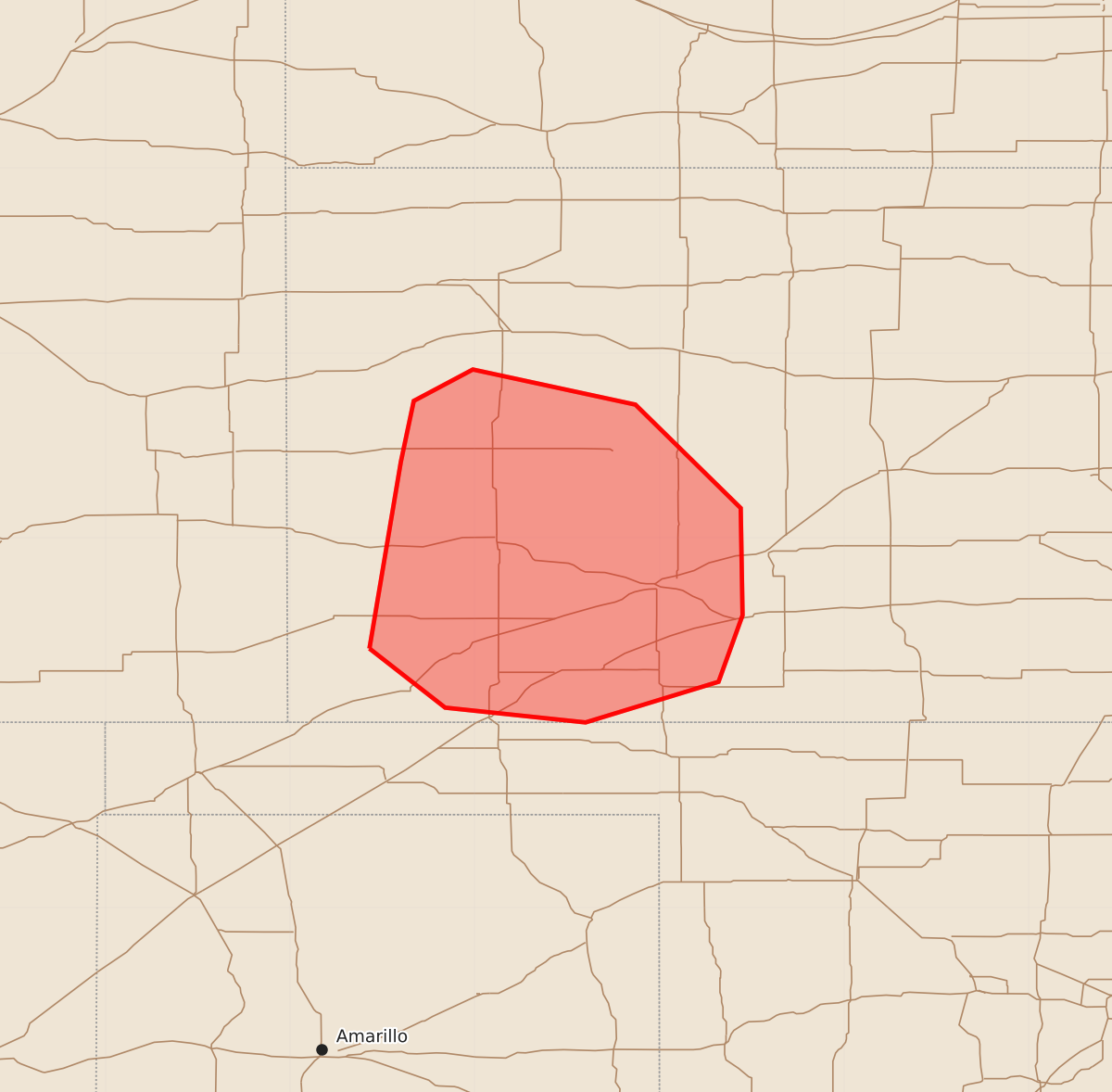
Summary
Severe thunderstorms capable of producing damaging wind gusts and occasional hail may impact portions of eastern Colorado and western Kansas through the evening.
Product Text
000 ACUS11 KWNS 232233 SWOMCD SPC MCD 232233 KSZ000-240000- Mesoscale Discussion 1717 NWS Storm Prediction Center Norman OK 0533 PM CDT Thu Jul 23 2026 Areas affected...portions of eastern Colorado into western Kansas Concerning...Severe potential...Watch possible Valid 232233Z - 240000Z Probability of Watch Issuance...40 percent SUMMARY...A few severe gusts may occur through the evening hours with the stronger storms. Convective trends are being monitored for the need of a Severe Thunderstorm Watch issuance. DISCUSSION...Scattered multicells have been gradually intensifying ahead of a surface low along the southern CO/KS border while traversing a surface baroclinic boundary. Ahead of the ongoing storms, a well-mixed boundary layer is in place, with surface temperatures nearly 100 F on the north side of the front, and T/Td spreads in the 30-40 F range. Some of the recent DDC VAD data shows appreciable low-level hodograph curvature, with around 300 m2/s2 0-3km SRH potentially contributing to continued organized multicellular modes merging into a loosely organized MCS through the evening. Should upscale growth continue, the deep and mixed boundary layer may encourage enough evaporative cooling with the stronger storms to promote a severe gust threat. An instance or two of hail may also occur. Either way, convective trends will continue to be monitored for the need of a Severe Thunderstorm Watch if storms can further organize and intensify on a widespread basis. ..Squitieri/Mosier.. 07/23/2026 ...Please see www.spc.noaa.gov for graphic product... ATTN...WFO...DDC...GLD... LAT...LON 37400157 38410140 38740133 38910101 38720013 38169956 37589955 37229968 37000040 37080116 37400157 MOST PROBABLE PEAK WIND GUST...55-70 MPH MOST PROBABLE PEAK HAIL SIZE...UP TO 1.25 IN