Watch 568 Outline
Issued:
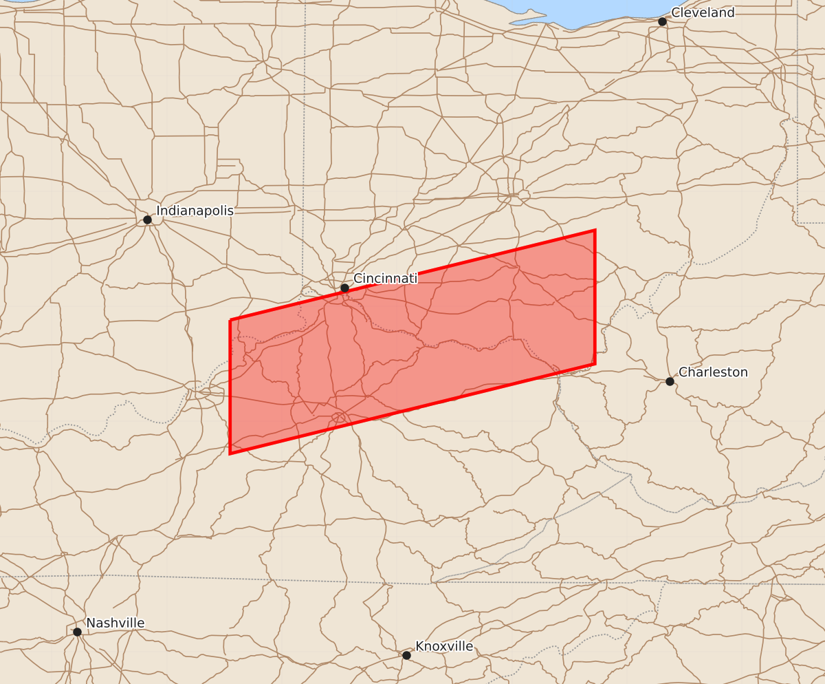
Summary
Severe thunderstorms are expected to affect portions of Kentucky and Ohio until midnight, bringing the potential for 1.5-inch hail and 70-knot wind gusts.
Product Text
000 WWUS30 KWNS 111834 SAW8 SPC AWW 111834 WW 568 SEVERE TSTM IN KY OH 111835Z - 120000Z AXIS..40 STATUTE MILES NORTH AND SOUTH OF LINE.. 50WNW LEX/LEXINGTON KY/ - 115E LUK/CINCINNATI OH/ ..AVIATION COORDS.. 35NM N/S /14NNE IIU - 23NNW HNN/ HAIL SURFACE AND ALOFT..1.5 INCHES. WIND GUSTS..70 KNOTS. MAX TOPS TO 500. MEAN STORM MOTION VECTOR 29035. LAT...LON 38888545 39668228 38508228 37728545 THIS IS AN APPROXIMATION TO THE WATCH AREA. FOR A COMPLETE DEPICTION OF THE WATCH SEE WOUS64 KWNS FOR WOU8.