Mesoscale Discussion 1351
Issued: · Valid: –
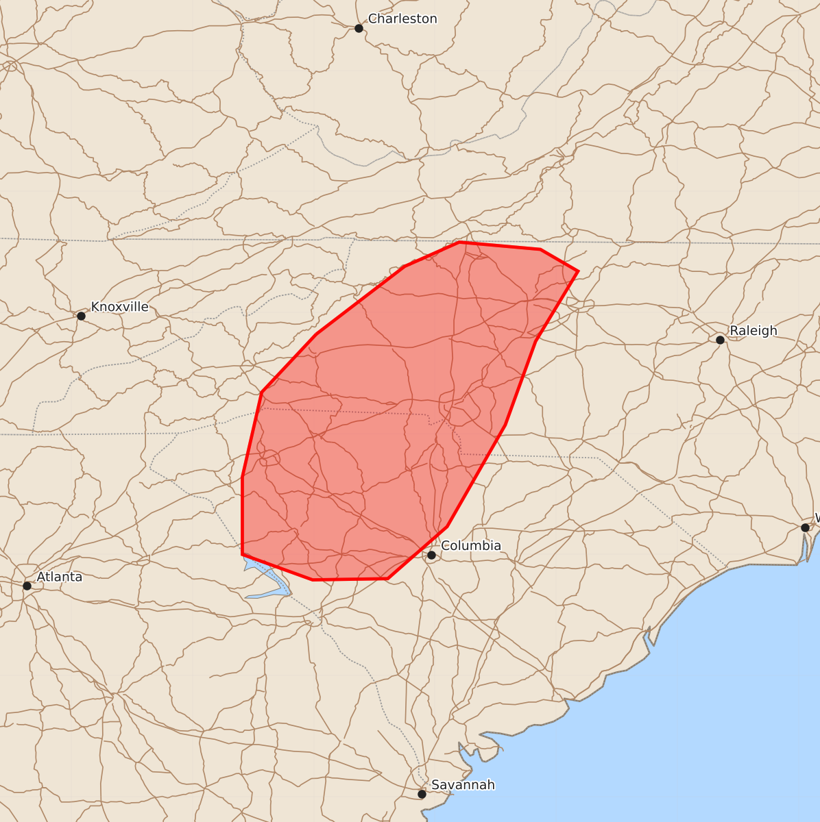
Summary
Clusters of thunderstorms may produce sporadic damaging wind gusts across portions of the western Carolinas this afternoon. Expected peak wind gusts could reach between 55 and 70 mph.
Product Text
000 ACUS11 KWNS 271948 SWOMCD SPC MCD 271948 NCZ000-VAZ000-SCZ000-GAZ000-272145- Mesoscale Discussion 1351 NWS Storm Prediction Center Norman OK 0248 PM CDT Sat Jun 27 2026 Areas affected...portions of the western Carolinas Concerning...Severe potential...Watch unlikely Valid 271948Z - 272145Z Probability of Watch Issuance...20 percent SUMMARY...Clusters of storms may produce sporadic damaging gusts this afternoon across portions of the western Carolinas. A watch is not anticipated. DISCUSSION...Clusters of thunderstorms are ongoing across portions of the southern Appalachians this afternoon. These storms are near a subtle mid-level jet max as sampled by the KMRX VWP. Additionally, short-term RAP profiles in the area show a reasonably moist atmosphere given the location and time of year, with some drier boundary layer air near the mountains. The enhanced mid-level flow provides enough shear (25-30 kts) to organize the convection into line segments as seen on regional WSR-88D. A few of these line segments have produced gusts near or above 40 kt over the last hour or so. These storms may produce occasional sporadic damaging gusts as they move eastward, and a watch is not anticipated at this time, however, trends will be monitored. ..Supinie/Guyer.. 06/27/2026 ...Please see www.spc.noaa.gov for graphic product... ATTN...WFO...RAH...RNK...CAE...GSP... LAT...LON 35828198 36388125 36588080 36528013 36347982 35768017 35078042 34238090 33808139 33798201 34008259 34648259 35348243 35828198 MOST PROBABLE PEAK WIND GUST...55-70 MPH