Mesoscale Discussion 1279
Issued: · Valid: –
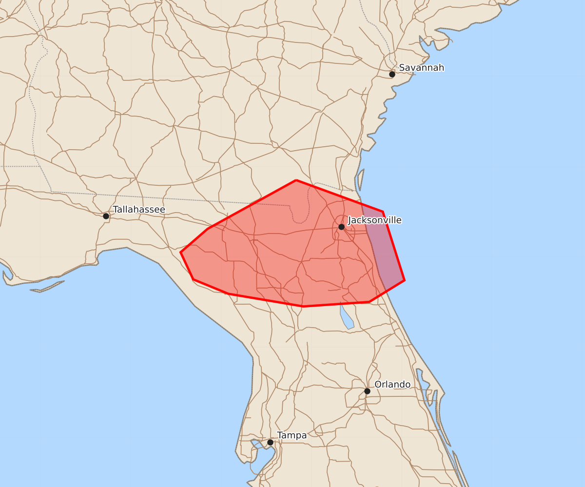
Summary
A thunderstorm cluster is expected to move east and southeast through portions of north Florida this afternoon, bringing the potential for occasional gusty winds up to 60 mph. The severe weather risk for these storms is expected to be limited.
Product Text
000 ACUS11 KWNS 232046 SWOMCD SPC MCD 232045 FLZ000-GAZ000-232215- Mesoscale Discussion 1279 NWS Storm Prediction Center Norman OK 0345 PM CDT Tue Jun 23 2026 Areas affected...portions of north Florida Concerning...Severe potential...Watch unlikely Valid 232045Z - 232215Z Probability of Watch Issuance...20 percent SUMMARY...A thunderstorm cluster will develop east/southeast through the remainder of the afternoon. Occasional gusty winds will be possible with these storms, though severe risk is expected to be limited. DISCUSSION...A cluster of storms has shown some better organization recently as it continues to propagate east/southeast. This activity is occurring within a very moist and unstable airmass. Steep low-level lapse rates may support occasionally strong/locally damaging wind gusts until the storms move offshore. Very weak vertical shear should temper the overall severe risk. A watch is not expected. ..Leitman/Guyer.. 06/23/2026 ...Please see www.spc.noaa.gov for graphic product... ATTN...WFO...TBW...JAX...TAE... LAT...LON 30858217 30508121 29748097 29508136 29458209 29598292 29758331 30058345 30318315 30858217 MOST PROBABLE PEAK WIND GUST...UP TO 60 MPH