Mesoscale Discussion 1399
Issued: · Valid: –
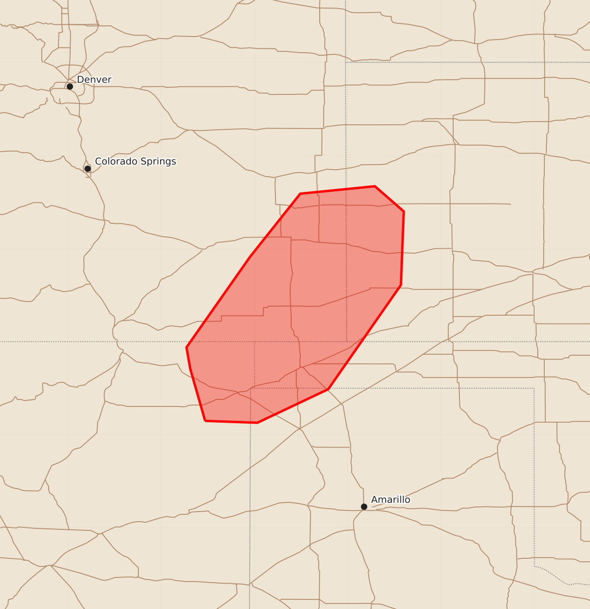
Summary
Severe thunderstorms with the potential for large hail and damaging wind gusts are expected across the southern High Plains, including parts of New Mexico, Colorado, Kansas, Oklahoma, and Texas, this afternoon and evening. The threat will increase as storms develop and move east, bringing the possibility of significant wind and hail.
Product Text
000 ACUS11 KWNS 301944 SWOMCD SPC MCD 301943 OKZ000-KSZ000-COZ000-TXZ000-NMZ000-302145- Mesoscale Discussion 1399 NWS Storm Prediction Center Norman OK 0243 PM CDT Tue Jun 30 2026 Areas affected...northeast New Mexico...southeast Colorado...southwest Kansas...the western Oklahoma Panhandle...and far northwest Texas Panhandle Concerning...Severe potential...Watch possible Valid 301943Z - 302145Z Probability of Watch Issuance...60 percent SUMMARY...The severe weather threat will increase this afternoon/evening across portions of the southern High Plains. DISCUSSION...A storm has developed in Union County, New Mexico this afternoon where 50s dewpoints have backed up into the higher terrain. Visible satellite imagery also suggests additional development may occur north of this storm near the Raton Mesa. SPC mesoanalysis shows around 35 to 40 knots of effective shear across the area. The PUX VWP is sampling around 40 to 45 knots at 4-5km which would support the 35 to 40 knot shear values farther southeast. This shear, combined with weak to moderate instability will support the potential for supercell structures and some hail threat. Through time, expect storms to grow upscale as they move east into a more unstable airmass with an increasing severe wind threat into the evening. ..Bentley/Guyer.. 06/30/2026 ...Please see www.spc.noaa.gov for graphic product... ATTN...WFO...DDC...GLD...AMA...PUB...ABQ... LAT...LON 36150353 36710369 36940373 37910305 38590251 38670171 38400140 37610143 36490221 36130297 36150353 MOST PROBABLE PEAK WIND GUST...65-80 MPH MOST PROBABLE PEAK HAIL SIZE...1.50-2.50 IN