Mesoscale Discussion 1175
Issued: · Valid: –
Summary
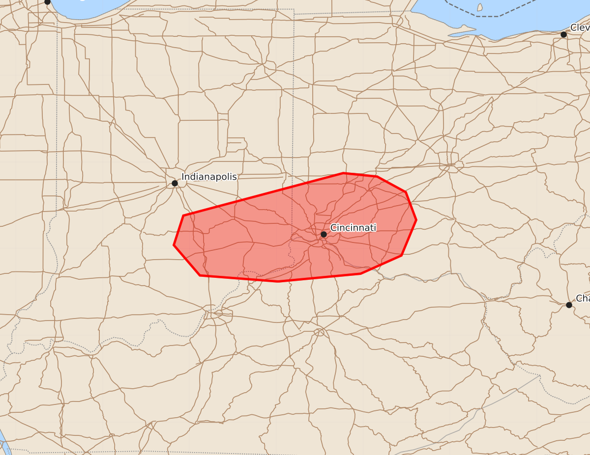
A tornado threat exists for southeastern Indiana, southwest Ohio, and far northern Kentucky through early morning hours. Strong tornadoes are possible as severe storms move through the region tonight.
Product Text
000 ACUS11 KWNS 180428 SWOMCD SPC MCD 180427 OHZ000-KYZ000-INZ000-180600- Mesoscale Discussion 1175 NWS Storm Prediction Center Norman OK 1127 PM CDT Wed Jun 17 2026 Areas affected...Southeastern Indiana...southwest Ohio...and far northern Kentucky Concerning...Tornado Watch 344...347... Valid 180427Z - 180600Z The severe weather threat for Tornado Watch 344, 347 continues. SUMMARY...The tornado risk is focusing across southeastern Indiana into southwestern Ohio tonight -- within Tornado Watches 344/347. DISCUSSION...Within a broad area of stratiform rain spreading across IN into OH, lower 70s temperatures amid upper 60s dewpoints are still yielding surface-based inflow parcels for a few deeper/embedded rotating updrafts. The ILN VWP is sampling the core of a 60-kt LLJ overspreading this activity, which is supporting a very large, clockwise curved hodograph (around 450 m2/s2 0-500m SRH). Despite marginal buoyancy, this wind profile is supporting efficient mesocylogenesis from southeastern IN into southwestern OH. The primary tornado risk should continue east-northeastward beneath the core of the LLJ and in a region of enhanced surface pressure falls tonight. Given the strong low-level shear/streamwise vorticity and supercell structures, a strong tornado remains possible with the longer-lived storms. ..Weinman.. 06/18/2026 ...Please see www.spc.noaa.gov for graphic product... ATTN...WFO...ILN...LMK...IND... LAT...LON 38628498 38698588 39048618 39388607 39878423 39838384 39658351 39338339 38928356 38718403 38628498 MOST PROBABLE PEAK TORNADO INTENSITY...100-125 MPH MOST PROBABLE PEAK WIND GUST...55-70 MPH MOST PROBABLE PEAK HAIL SIZE...UP TO 1.25 IN