Mesoscale Discussion 1105
Issued: · Valid: –
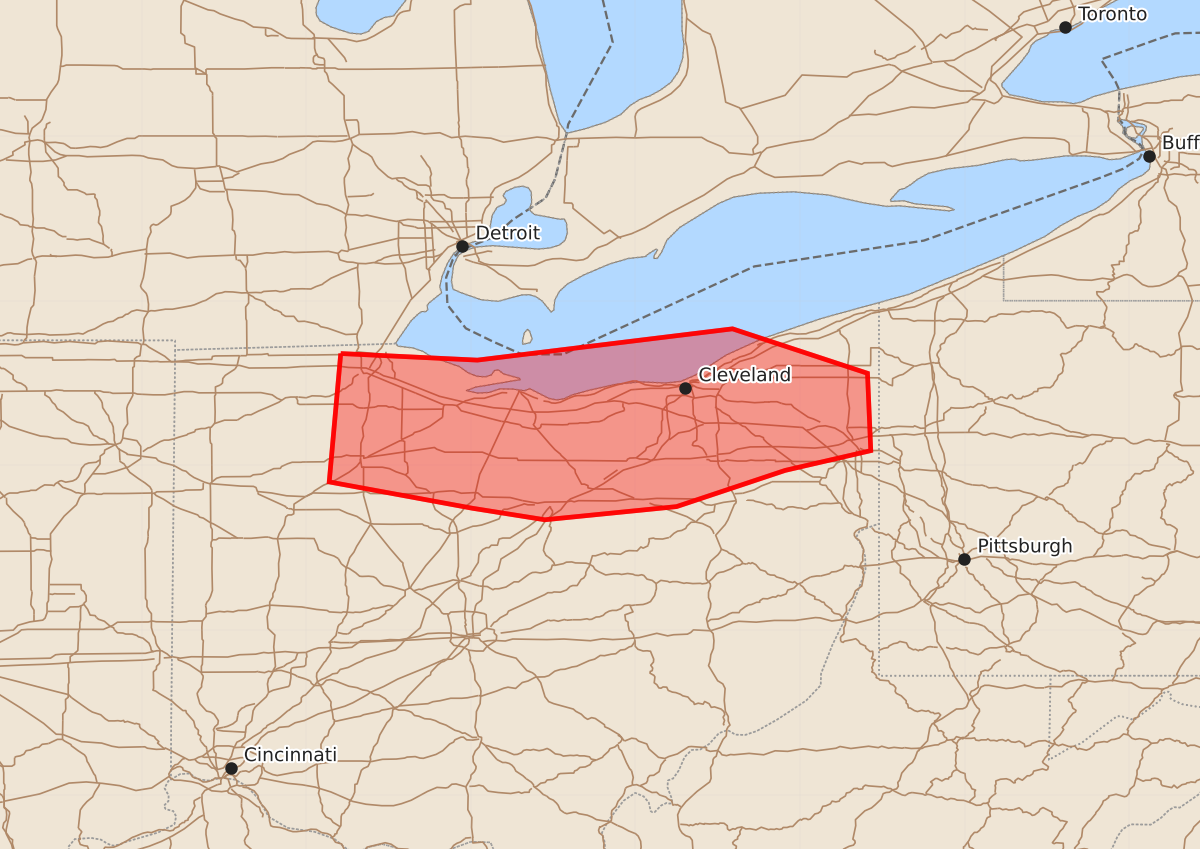
Summary
A squall line moving through northern Ohio overnight may produce damaging wind gusts of 55 to 70 mph.
Product Text
000 ACUS11 KWNS 120342 SWOMCD SPC MCD 120342 OHZ000-120515- Mesoscale Discussion 1105 NWS Storm Prediction Center Norman OK 1042 PM CDT Thu Jun 11 2026 Areas affected...northern Ohio Concerning...Severe potential...Watch likely Valid 120342Z - 120515Z Probability of Watch Issuance...95 percent SUMMARY...Watch 320 was issued for the risk of damaging wind gusts. DISCUSSION...A mature MCS continues east this evening across northern Indiana and southern Michigan. This squall line will continue eastward along the instability gradient into the overnight hours. This squall line is likely near peak intensity now within the most favorable thermodynamic and kinematic environment. Temperatures are only in the mid to upper 70s across northern Ohio which will likely result in some weakening of the line as it moves east. Nonetheless, it will still pose a threat for damaging winds given the well-established squall line and at least moderate instability continuing into the overnight hours where dewpoints are in the upper 60s to low 70s. ..Bentley/Smith.. 06/12/2026 ...Please see www.spc.noaa.gov for graphic product... ATTN...WFO...CLE... LAT...LON 41688379 41648296 41838141 41568059 41098057 40978109 40758175 40678255 40748299 40908386 41688379 MOST PROBABLE PEAK TORNADO INTENSITY...UP TO 90 MPH MOST PROBABLE PEAK WIND GUST...55-70 MPH