Day 3 Convective Outlook
Issued: · Valid: –
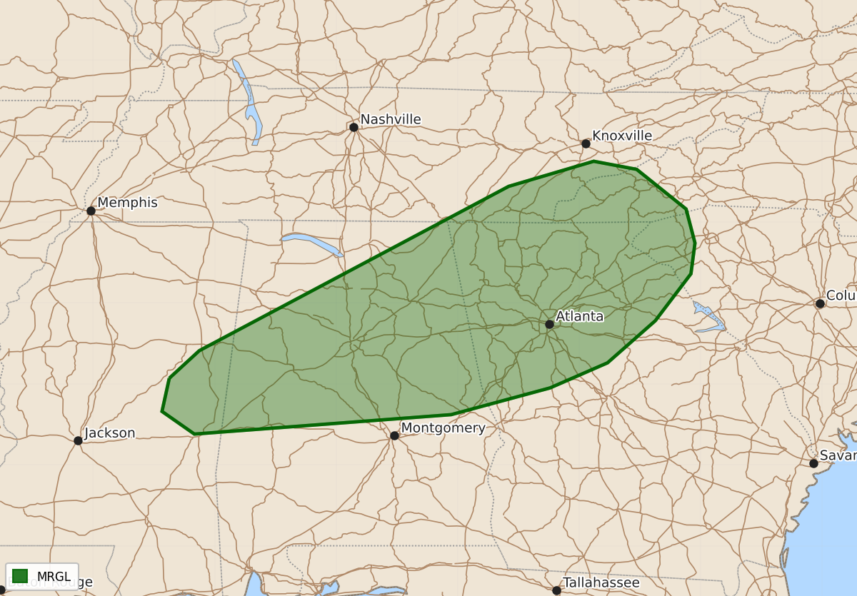
Summary
Isolated severe thunderstorms may cause wind damage across far east-central Mississippi into parts of the southern Appalachians during Tuesday afternoon and early evening.
Product Text
000 ACUS03 KWNS 201817 SWODY3 SPC AC 201816 Day 3 Convective Outlook NWS Storm Prediction Center Norman OK 0116 PM CDT Sun Sep 20 2026 Valid 221200Z - 231200Z ...THERE IS A MARGINAL RISK OF SEVERE THUNDERSTORMS FROM FAR EAST-CENTRAL MISSISSIPPI INTO THE SOUTHERN APPALACHIANS... ...SUMMARY... Isolated wind damage may occur with stronger storms from far east-central Mississippi into portions of the southern Appalachians on Tuesday. ...Far east-central MS into parts of the southern Appalachians... A surface cold front will be in place across the TN to Lower MS Valleys Tuesday morning. Meanwhile, the CAD/wedge front will develop south across the Carolinas through Tuesday evening. Ahead of the surface boundaries, upper 60s to low 70s dewpoints will be in place beneath weak midlevel lapse rates. Abundant low-level moisture and stronger heating will support a corridor of moderate destabilization from far east-central MS toward far western NC. Deep-layer westerly flow will remain weak, and effective shear magnitudes less than 20 kt. However, steepened low-level lapse rates and PW values near 1.75-2 inches could support sporadic strong gusts from wet microbursts within thunderstorm clusters during the afternoon and early evening. The CAD/wedge front across the Carolinas will limit northeast extent of the severe risk, and probabilities have been removed from that area with the Day 3 update. ..Leitman.. 09/20/2026 $$