Mesoscale Discussion 1269
Issued: · Valid: –
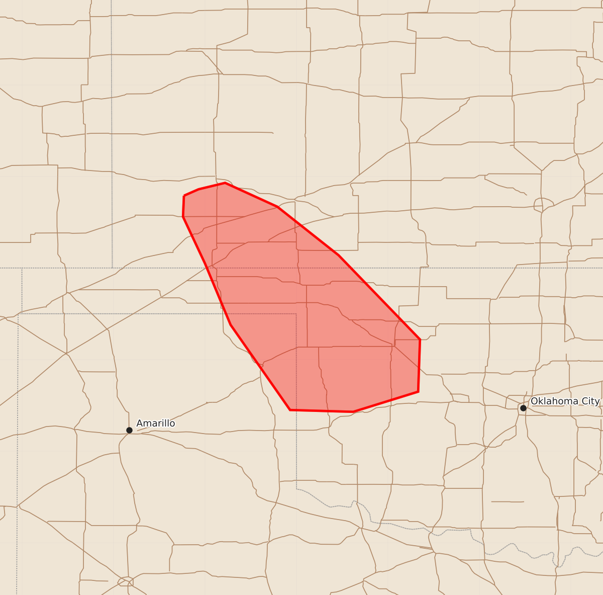
Summary
Increasing storm coverage through this morning across southwest Kansas, northwest Oklahoma, and the northeast Texas Panhandle may bring sporadic hail and damaging wind gusts. Expected severe weather includes hail up to 1.75 inches and wind gusts between 55 and 70 mph.
Product Text
000 ACUS11 KWNS 231058 SWOMCD SPC MCD 231057 OKZ000-KSZ000-TXZ000-231330- Mesoscale Discussion 1269 NWS Storm Prediction Center Norman OK 0557 AM CDT Tue Jun 23 2026 Areas affected...southwest Kansas into northwest Oklahoma and the northeast Texas Panhandle Concerning...Severe potential...Watch possible Valid 231057Z - 231330Z Probability of Watch Issuance...40 percent SUMMARY...Storm coverage continues to increase this morning, with sporadic hail likely. The area is being monitored for potential upscale growth and watch potential for damaging wind downstream. DISCUSSION...Storms have increased in coverage over the last couple hours, as the low-level jet gradually veers towards southerly, bringing a very moist air mass northward atop the relatively cool surface air mass. MUCAPE is likely above 2000 J/kg, with upstream PWAT measured at 1.77" near OKC. West to northwest midlevel winds around 30 kt combined with the backed low-level winds are resulting in effective shear over 40 kt. In the near term, localized hail up to 1.75" appears possible in the stronger cells, with perhaps an increase in localized damaging gust potential. Trends will continue to be monitored for any upscale organization and possible downstream watch potential. ..Jewell/Gleason.. 06/23/2026 ...Please see www.spc.noaa.gov for graphic product... ATTN...WFO...OUN...DDC...AMA... LAT...LON 37790123 37860107 37930078 37670021 37149954 36229865 35659867 35439938 35450007 36380072 37050100 37560124 37790123 MOST PROBABLE PEAK WIND GUST...55-70 MPH MOST PROBABLE PEAK HAIL SIZE...1.00-1.75 IN