Mesoscale Discussion 1035
Issued: · Valid: –
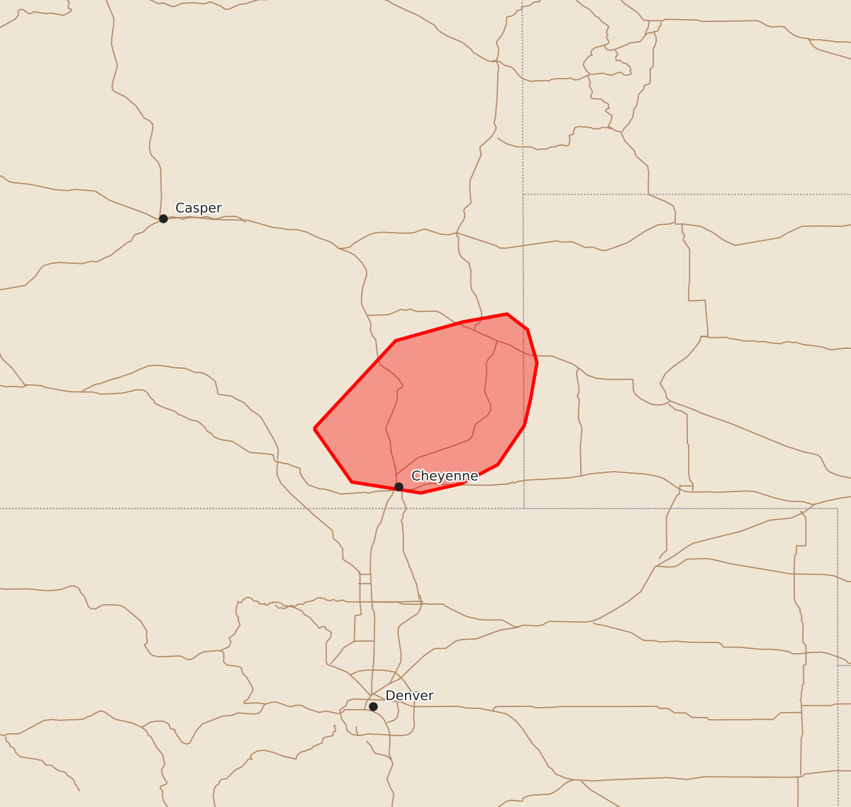
Summary
Severe thunderstorms capable of producing large hail and damaging winds will affect southeastern Wyoming and the western Nebraska Panhandle through this evening. Potential landspouts may also develop in northern Laramie County.
Product Text
000 ACUS11 KWNS 082339 SWOMCD SPC MCD 082339 NEZ000-WYZ000-090045- Mesoscale Discussion 1035 NWS Storm Prediction Center Norman OK 0639 PM CDT Mon Jun 08 2026 Areas affected...southeastern Wyoming into western Nebraska Panhandle Concerning...Severe Thunderstorm Watch 289... Valid 082339Z - 090045Z The severe weather threat for Severe Thunderstorm Watch 289 continues. SUMMARY...Severe threat continues within WW289. DISCUSSION...A line of thunderstorm activity continues across southeastern Wyoming, with occasional stronger cores with potential for large hail and strong to severe wind. Local enhancement of surface vorticity near a diffuse boundary across northern Laramie County may promote some increase in landspout potential in the short term. Storms should eventually move downstream in western Nebraska Panhandle this evening, with potential for damaging wind. ..Thornton.. 06/08/2026 ...Please see www.spc.noaa.gov for graphic product... ATTN...WFO...CYS... LAT...LON 41510536 42070484 42190441 42240413 42140400 41930394 41700398 41530402 41280419 41160442 41100468 41170512 41510536 MOST PROBABLE PEAK TORNADO INTENSITY...UP TO 90 MPH MOST PROBABLE PEAK WIND GUST...55-70 MPH MOST PROBABLE PEAK HAIL SIZE...1.50-2.50 IN