Mesoscale Discussion 1626
Issued: · Valid: –
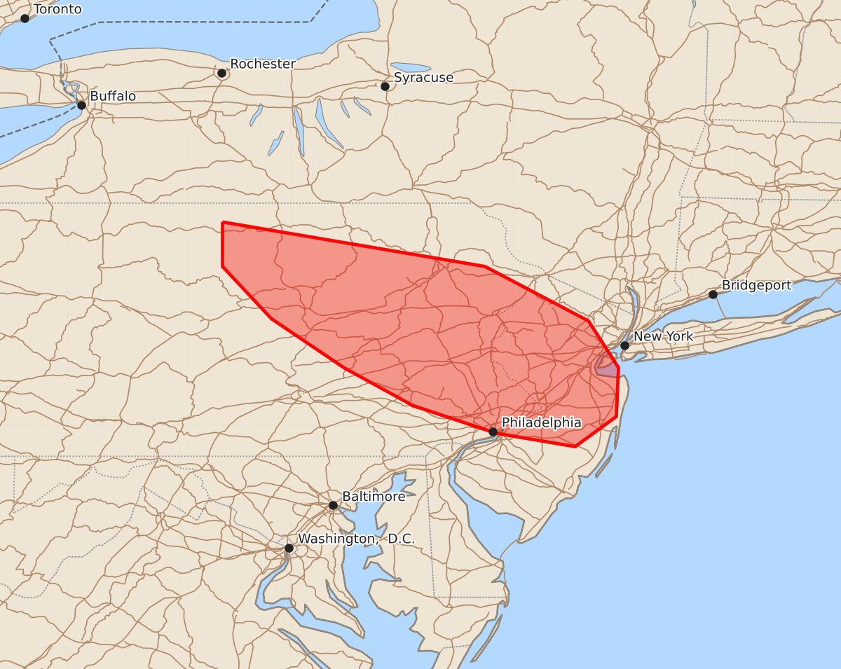
Summary
Damaging wind gusts and hail may occur across portions of northeastern Pennsylvania and New Jersey through the late afternoon. The potential severity for these storms is expected to be low.
Product Text
000 ACUS11 KWNS 151955 SWOMCD SPC MCD 151955 NJZ000-NYZ000-PAZ000-152100- Mesoscale Discussion 1626 NWS Storm Prediction Center Norman OK 0255 PM CDT Wed Jul 15 2026 Areas affected...portions of northeastern Pennsylvania into New Jersey Concerning...Severe potential...Watch unlikely Valid 151955Z - 152100Z Probability of Watch Issuance...20 percent SUMMARY...A few damaging gusts or instances of hail may occur over the next few hours. A WW issuance is unlikely. DISCUSSION...MRMS mosaic radar imagery shows convective initiation over the higher terrain of the Appalachians. Surface temperatures have reached the mid to upper 90s at multiple locations per surface observations, suggesting that convective temperatures have been breached (per 18Z RAP forecast soundings). 19Z mesoanalysis depicts over 2000 J/kg MLCAPE in place amid 40-60 kts of effective bulk shear as a 500 mb jet max overspreads upstate NY. These ambient conditions would support damaging gusts (perhaps one or two exceeding 50 kts) and perhaps an instance of hail if a storm could mature. Nonetheless, current visible satellite depict a thick belt of smoke overspreading the Hudson Valley into the northeast, which may negatively impact updraft strength to a degree. As such, it is unclear how strong these storms may become. Given the conditional potential for sparse damaging gusts, a Severe Thunderstorm Watch issuance is not currently anticipated, though convective trends will continue to be monitored. ..Squitieri/Mosier.. 07/15/2026 ...Please see www.spc.noaa.gov for graphic product... ATTN...WFO...OKX...PHI...BGM...CTP... LAT...LON 41837761 41437525 40947432 40527405 40087407 39817444 39937515 40187590 40527652 40967717 41437761 41837761 MOST PROBABLE PEAK WIND GUST...UP TO 60 MPH MOST PROBABLE PEAK HAIL SIZE...1.00-1.75 IN