Mesoscale Discussion 1195
Issued: · Valid: –
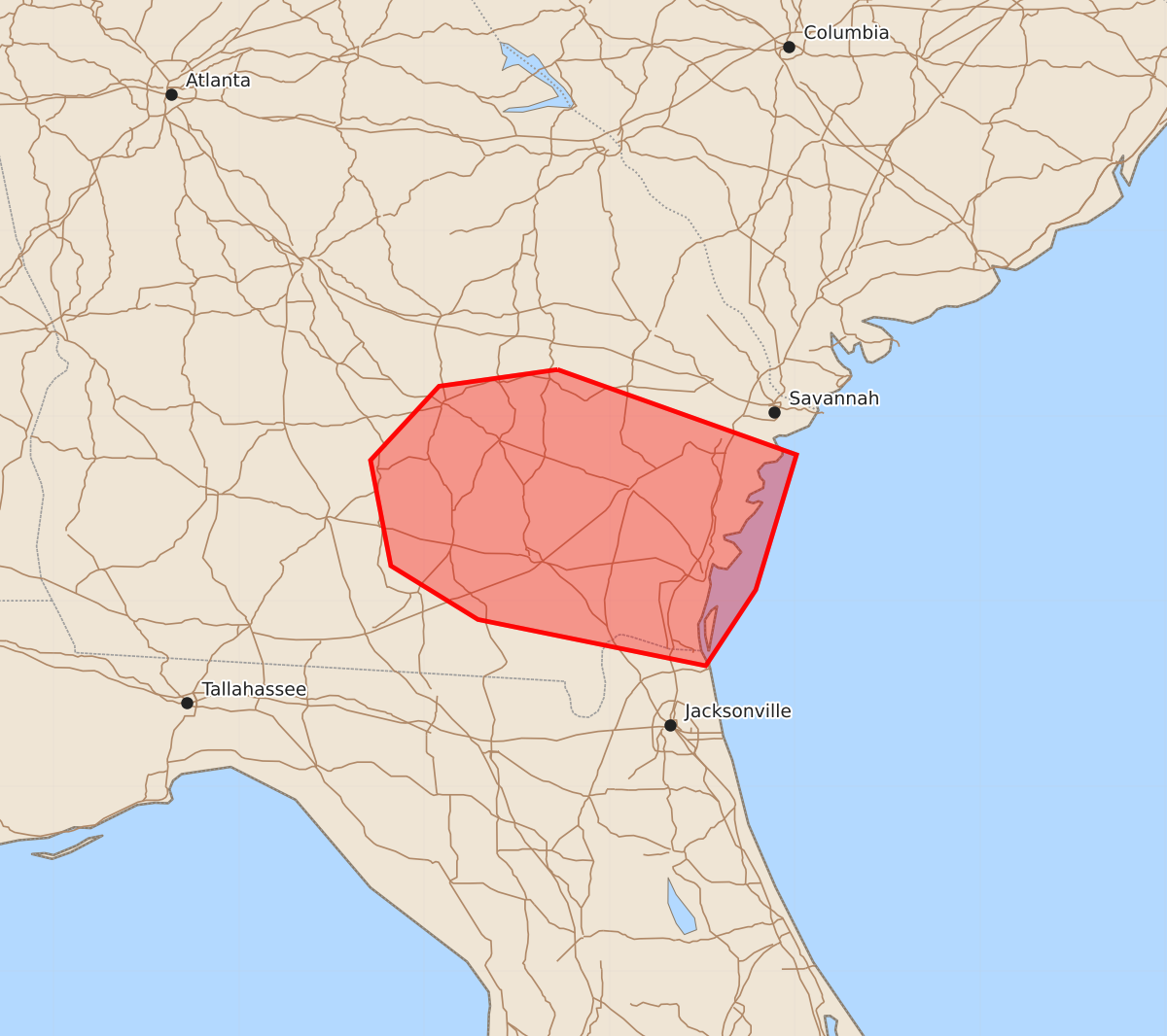
Summary
A marginal threat of severe wind gusts is possible across parts of southeast Georgia during the morning of June 19.
Product Text
000 ACUS11 KWNS 191127 SWOMCD SPC MCD 191127 GAZ000-FLZ000-191330- Mesoscale Discussion 1195 NWS Storm Prediction Center Norman OK 0627 AM CDT Fri Jun 19 2026 Areas affected...Southeast Georgia Concerning...Severe potential...Watch unlikely Valid 191127Z - 191330Z Probability of Watch Issuance...20 percent SUMMARY...A wind-damage threat will be possible this morning across parts of southeast Georgia. The threat is expected to remain marginal, and weather watch issuance appears unlikely. DISCUSSION...A bowing line segment is currently located about 75 statute miles to the west-northwest of the southeast Georgia coast. This line is being supported by large-scale ascent associated with a shortwave trough evident on water vapor imagery. Ahead of the line, surface dewpoints are in the mid 70s F, and the RAP shows an axis of moderate instability with MLCAPE around 1000 J/kg. In addition, the latest WSR-88D VWP at Charleston, South Carolina has moderate deep-layer shear with 55 knots of west-southwesterly flow around 1 km above ground level. The strong wind field will support an isolated potential for severe wind gusts as the line moves east-southeastward toward the coast over the next couple of hours. ..Broyles/Gleason.. 06/19/2026 ...Please see www.spc.noaa.gov for graphic product... ATTN...WFO...CHS...JAX...FFC...TAE... LAT...LON 32258228 32168292 31768329 31198318 30908271 30658148 31068121 31798099 32258228 MOST PROBABLE PEAK TORNADO INTENSITY...UP TO 90 MPH MOST PROBABLE PEAK WIND GUST...55-70 MPH