Mesoscale Discussion 1405
Issued: · Valid: –
Summary
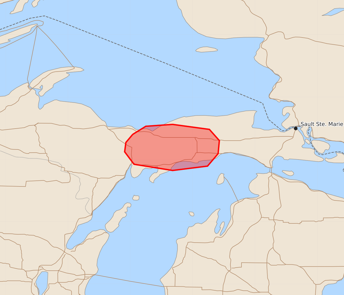
An isolated supercell moving across portions of the Michigan Upper Peninsula may produce large hail, damaging winds, and an isolated tornado over the next one to two hours.
Product Text
000 ACUS11 KWNS 302335 SWOMCD SPC MCD 302335 MIZ000-010100- Mesoscale Discussion 1405 NWS Storm Prediction Center Norman OK 0635 PM CDT Tue Jun 30 2026 Areas affected...portions of the Michigan Upper Peninsula Concerning...Severe potential...Watch possible Valid 302335Z - 010100Z Probability of Watch Issuance...40 percent SUMMARY...An isolated supercell that has recently developed across the central portions of the Michigan Upper Peninsula will pose a risk for all severe hazards. DISCUSSION...An isolated, splitting supercell has recently developed in Delta County, Michigan. While the left split will quickly move into a less favorable air mass overlying Lake Superior, a narrow corridor of severe potential will likely exist with the right split across downstream portions of the Michigan Upper Peninsula. Large hail and damaging wind gusts will be possible with this storm over the next 1-2 hours, along with the potential for an isolated tornado given enhanced 0-500 m SRH (approximately 100 m2/s2 per latest objective analysis). Cooler temperatures and increased capping farther east should tend to limit the longevity of this threat. ..Chalmers/Thompson.. 06/30/2026 ...Please see www.spc.noaa.gov for graphic product... ATTN...WFO...APX...MQT... LAT...LON 46408696 46538675 46568632 46488573 46308557 46098559 45898576 45828632 45928694 46128709 46278707 46408696 MOST PROBABLE PEAK TORNADO INTENSITY...85-110 MPH MOST PROBABLE PEAK WIND GUST...55-70 MPH MOST PROBABLE PEAK HAIL SIZE...1.50-2.50 IN