Mesoscale Discussion 2132
Issued: · Valid: –
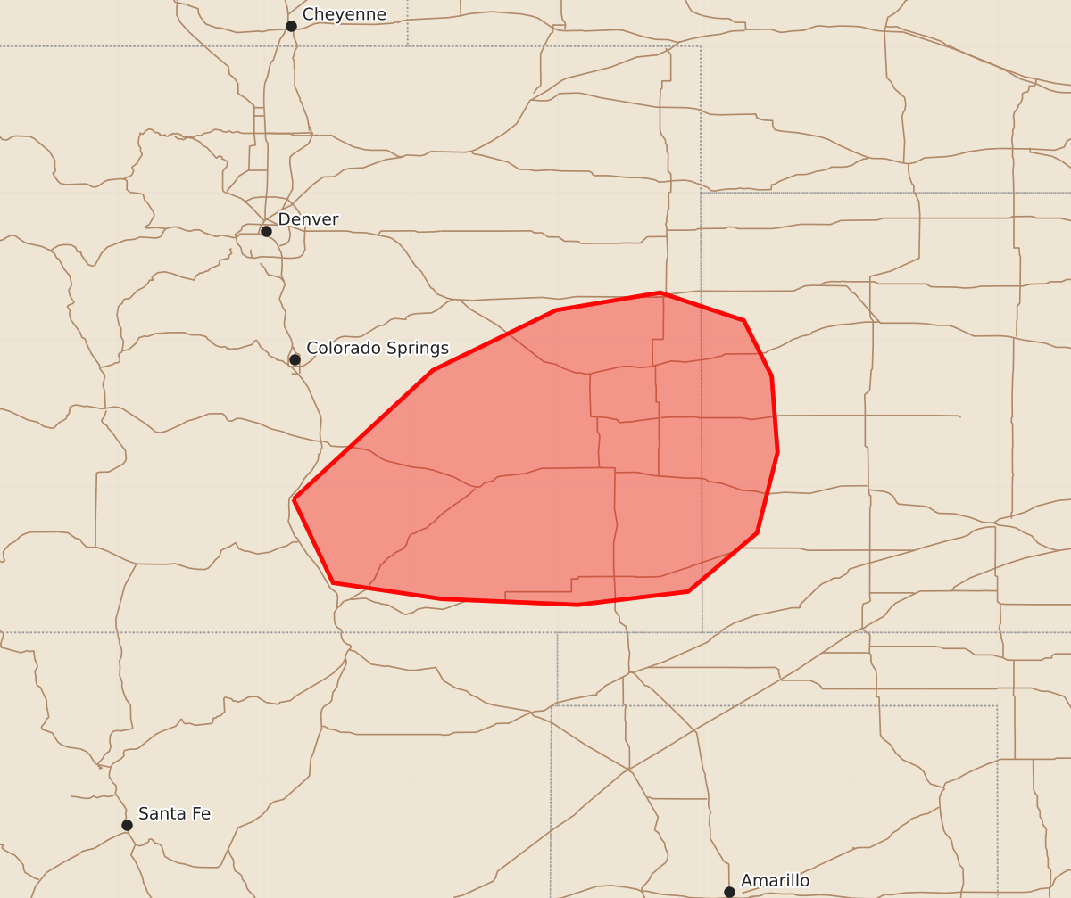
Summary
Severe thunderstorms capable of producing damaging winds and large hail are moving through portions of eastern Colorado and far western Kansas this evening.
Product Text
000 ACUS11 KWNS 252325 SWOMCD SPC MCD 252324 KSZ000-COZ000-260100- Mesoscale Discussion 2132 NWS Storm Prediction Center Norman OK 0624 PM CDT Tue Aug 25 2026 Areas affected...portions of eastern Colorado into far western Kansas Concerning...Severe potential...Watch possible Valid 252324Z - 260100Z Probability of Watch Issuance...40 percent SUMMARY...Some threat exists for severe wind and hail with ongoing storms. Convective trends are being monitored for the need of a WW issuance. DISCUSSION...Multiple multicells/supercells have matured over eastern CO over the past few hours as upslope flow of a moistened and heated airmass has encouraged relatively robust but sparse convective initiation. These storms are benefiting from 7+ C/km mid-level lapse rates and accompanying 1500-2000 J/kg MLCAPE, as well as 30 kts of effective bulk shear. Given relatively limited shear and flow, storms are expected to remain relatively sparse and slow moving. Severe wind and hail may accompany the stronger storms, but it is currently unclear how widespread severe coverage will be. Nonetheless, convective trends will continue to be monitored for the need of a Severe Thunderstorm Watch issuance. ..Squitieri/Thompson.. 08/25/2026 ...Please see www.spc.noaa.gov for graphic product... ATTN...WFO...DDC...GLD...PUB...BOU... LAT...LON 37910480 38790385 39200301 39320230 39130173 38750154 38230150 37680164 37280211 37190286 37230379 37340453 37910480 MOST PROBABLE PEAK WIND GUST...65-80 MPH MOST PROBABLE PEAK HAIL SIZE...1.00-1.75 IN