Mesoscale Discussion 1572
Issued: · Valid: –
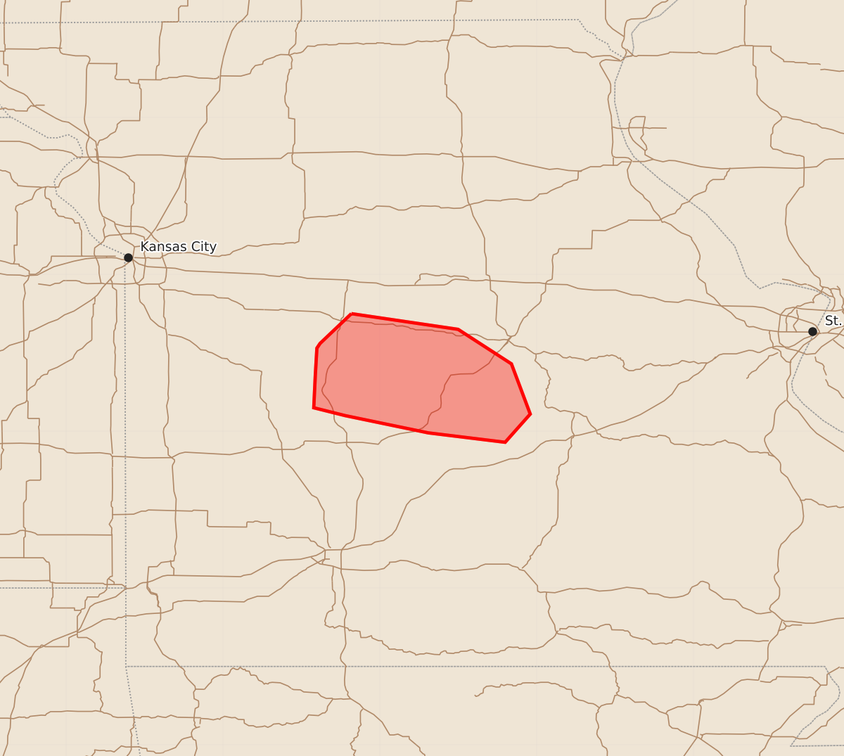
Summary
A cluster of thunderstorms may produce strong to severe wind gusts of 55 to 70 mph across portions of central Missouri through the morning.
Product Text
000 ACUS11 KWNS 101227 SWOMCD SPC MCD 101226 MOZ000-101400- Mesoscale Discussion 1572 NWS Storm Prediction Center Norman OK 0726 AM CDT Fri Jul 10 2026 Areas affected...portions of central Missouri Concerning...Severe potential...Watch unlikely Valid 101226Z - 101400Z Probability of Watch Issuance...20 percent SUMMARY...A cluster of thunderstorms may continue to produce instances of strong to severe wind this morning. DISCUSSION...A cluster of thunderstorms across central Missouri have recently shown an uptick in intensity, with radar data from KEAX sampling rear inflow jet winds around 70-75 kt around 4 kft. This has produced winds around 60-67 mph in recent observations. Given less favorable instability and MLCIN downstream, it remains uncertain how long severe potential will continue. Nonetheless, a few instances of strong to severe wind will remain possible through the morning. ..Thornton/Gleason.. 07/10/2026 ...Please see www.spc.noaa.gov for graphic product... ATTN...WFO...LSX...SGF...EAX... LAT...LON 38759318 38569338 38539340 38369341 38159342 38109322 37999269 37939220 38119204 38439216 38659250 38759318 MOST PROBABLE PEAK WIND GUST...55-70 MPH