Mesoscale Discussion 2299
Issued: · Valid: –
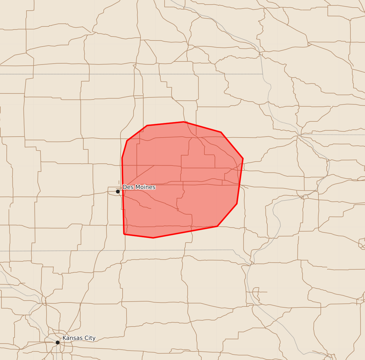
Summary
Isolated severe wind gusts are possible across central and eastern Iowa through the early morning hours.
Product Text
000 ACUS11 KWNS 150211 SWOMCD SPC MCD 150211 IAZ000-150315- Mesoscale Discussion 2299 NWS Storm Prediction Center Norman OK 0911 PM CDT Mon Sep 14 2026 Areas affected...central and eastern Iowa Concerning...Severe potential...Watch unlikely Valid 150211Z - 150315Z Probability of Watch Issuance...20 percent SUMMARY...A severe gust or two are possible in the next few hours. A downstream Severe Thunderstorm Watch issuance appears unlikely given downstream stabilization. DISCUSSION...An MCS continues to progress eastward across central IA, and is approaching the eastern bounds of Tornado Watch 669. East of the watch bounds, surface temperatures have cooled into the lower 70s F, with buoyancy struggling to build farther to the east. Since severe gusts have also not been observed with the progressive portion of the line for the past one and a half hours, the current thinking is that the severe threat should diminish. Therefore, while a severe gust or two still cannot be ruled out, the threat should be isolated enough to preclude a downstream Severe Thunderstorm Watch issuance. ..Squitieri/Smith.. 09/15/2026 ...Please see www.spc.noaa.gov for graphic product... ATTN...WFO...DVN...DMX... LAT...LON 40889352 42139355 42419347 42669314 42729254 42559193 42129157 41389167 41019199 40829304 40889352 MOST PROBABLE PEAK WIND GUST...55-70 MPH