Mesoscale Discussion 2140
Issued: · Valid: –
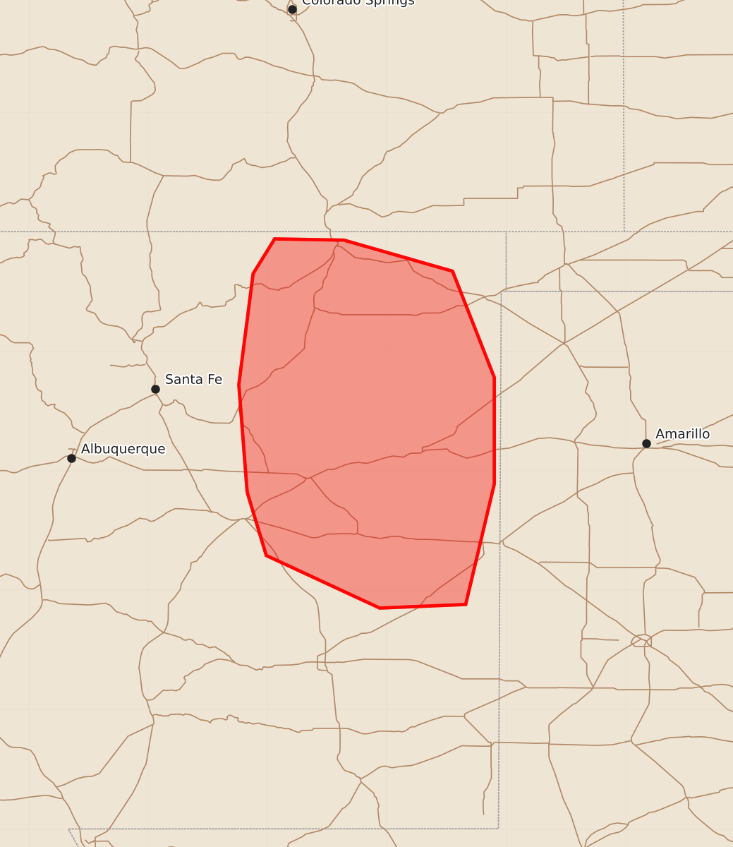
Summary
Isolated severe thunderstorms capable of producing large hail and wind gusts up to 75 mph are expected across eastern New Mexico from this afternoon through this evening.
Product Text
000 ACUS11 KWNS 262051 SWOMCD SPC MCD 262051 NMZ000-262315- Mesoscale Discussion 2140 NWS Storm Prediction Center Norman OK 0351 PM CDT Wed Aug 26 2026 Areas affected...eastern New Mexico Concerning...Severe potential...Watch unlikely Valid 262051Z - 262315Z Probability of Watch Issuance...20 percent SUMMARY...The threat for isolated severe thunderstorms capable of marginally severe hail and wind gusts up to 65-75 mph is expected to increase through the remainder of this afternoon into evening. The current expectation is that the threat will remain too limited spatially to warrant a watch issuance. DISCUSSION...Thunderstorms are increasing in coverage and intensity this afternoon over the Sangre de Cristo and the Sacramento Mountains within a moist, mid-level flow regime rotating around the upper high. Latest objective analysis suggests that some degree of capping exists across the adjacent High Plains of eastern NM, likely limiting storms to the immediate vicinity of the mountains in the near term, where isolated occurrences of large hail appear possible. Continued daytime heating and resultant air mass destabilization should allow storms to move off the high terrain by late afternoon into this evening with some CAM guidance suggesting an increase in sporadic wind gusts up to 65-75 mph. Current thinking is that the threat will remain somewhat isolated; however, if observational data begin to suggest otherwise, a severe thunderstorm watch may need to be considered. ..Mead/Mosier.. 08/26/2026 ...Please see www.spc.noaa.gov for graphic product... ATTN...WFO...ABQ... LAT...LON 34820517 35720524 36650512 36940494 36930436 36670345 35780310 34890310 34300324 33880334 33850406 34290501 34820517 MOST PROBABLE PEAK WIND GUST...65-80 MPH MOST PROBABLE PEAK HAIL SIZE...UP TO 1.25 IN