Mesoscale Discussion 1137
Issued: · Valid: –
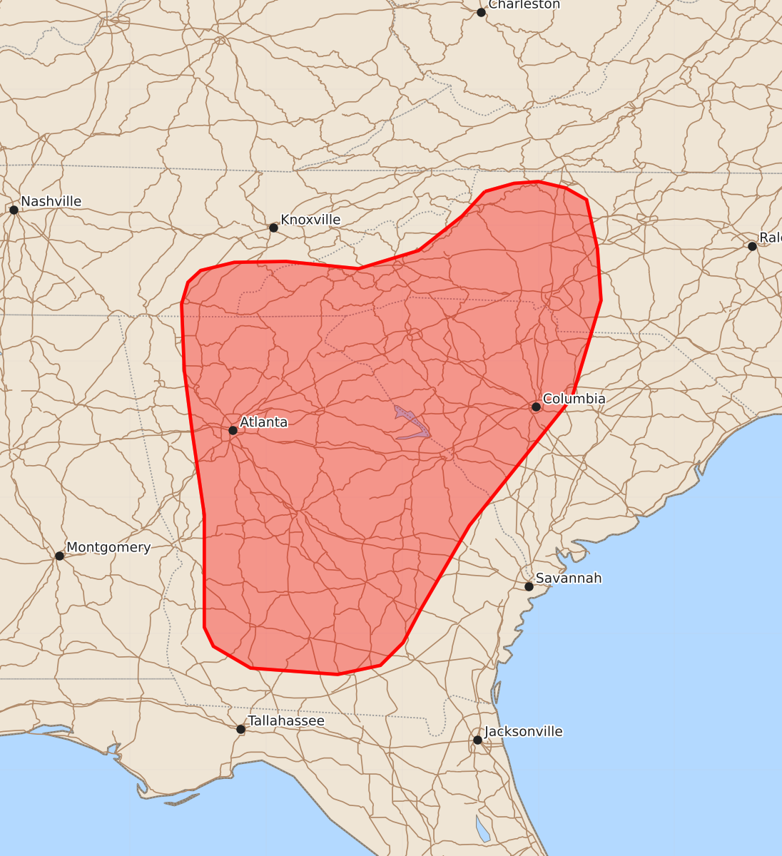
Summary
Isolated strong to damaging wind gusts are possible through this afternoon and evening across portions of the Southeast into western North Carolina due to widely scattered thunderstorms. These wind gusts could reach up to 60 mph.
Product Text
000 ACUS11 KWNS 141750 SWOMCD SPC MCD 141750 SCZ000-NCZ000-GAZ000-TNZ000-141945- Mesoscale Discussion 1137 NWS Storm Prediction Center Norman OK 1250 PM CDT Sun Jun 14 2026 Areas affected...portions of the Southeast into western North Carolina Concerning...Severe potential...Watch unlikely Valid 141750Z - 141945Z Probability of Watch Issuance...20 percent SUMMARY...Isolated strong to damaging wind gusts are possible through this afternoon/evening with widely scattered thunderstorms. DISCUSSION...Latest surface analysis depicts surface lee troughing downstream of the Appalachian Mountains, with a weak surface low analyzed in western North Carolina. Widely scattered convection has developed within this lee troughing through early afternoon, with the greatest coverage noted close to the weak low in the NC/SC/GA border vicinity. This activity is likely to persist eastward through the afternoon within a warm, humid air mass (sampled by the 12z FFC observed sounding). Despite surface dewpoints near 70 F, relatively warm mid-level temperatures and modestly more well-mixed boundary layer profiles inland are supporting only weak to moderate buoyancy, with 500-1500 J/kg MLCAPE indicated by objective analysis. Weak deep-layer flow and effective shear across the region will favor an outflow-dominant storm mode, with some potential for an occasionally more well-organized cluster or two. The main threat with this activity will be strong to isolated damaging wind gusts given high PWAT contents and steep low-level lapse rates. Given the expectation for storm longevity/organization and severe magnitude to remain limited, watch issuance is unlikely. ..Chalmers/Mosier.. 06/14/2026 ...Please see www.spc.noaa.gov for graphic product... ATTN...WFO...RAH...RNK...CHS...CAE...GSP...JAX...MRX...FFC... TAE... LAT...LON 36378159 36468127 36488100 36418070 36288047 35748035 35178031 34108063 32698176 31768230 31408249 31158274 31058321 31128417 31368458 31578468 32268468 32818468 33708481 34408490 34888492 35138493 35378486 35508472 35598435 35608378 35528298 35728232 36108184 36378159 MOST PROBABLE PEAK WIND GUST...UP TO 60 MPH