Watch 400 Outline
Issued:
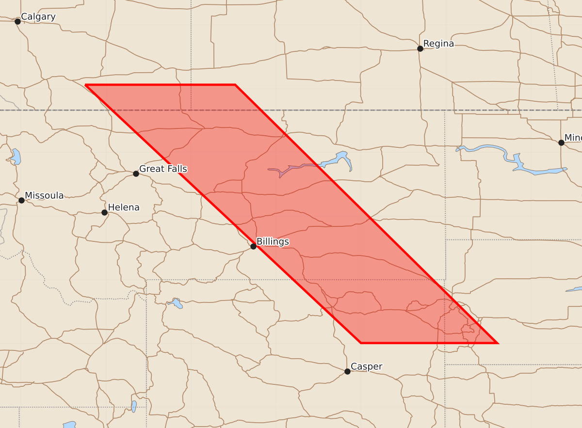
Summary
A severe thunderstorm watch is in effect for portions of Montana, South Dakota, and Wyoming from late tonight through early morning hours. Expected hazards include 1.5-inch hail and wind gusts up to 60 knots.
Product Text
000 WWUS30 KWNS 262226 SAW0 SPC AWW 262226 WW 400 SEVERE TSTM MT SD WY 262230Z - 270600Z AXIS..80 STATUTE MILES EAST AND WEST OF LINE.. 55ENE LWT/LEWISTOWN MT/ - 80SE GCC/GILLETTE WY/ ..AVIATION COORDS.. 70NM E/W /53ENE LWT - 66WSW RAP/ HAIL SURFACE AND ALOFT..1.5 INCHES. WIND GUSTS..60 KNOTS. MAX TOPS TO 500. MEAN STORM MOTION VECTOR 24035. LAT...LON 47340668 43510280 43510600 47341009 THIS IS AN APPROXIMATION TO THE WATCH AREA. FOR A COMPLETE DEPICTION OF THE WATCH SEE WOUS64 KWNS FOR WOU0.