Mesoscale Discussion 1263
Issued: · Valid: –
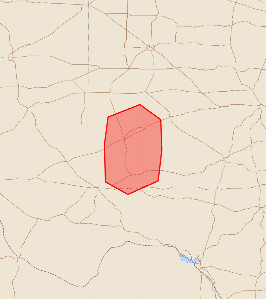
Summary
Quickly developing thunderstorms will drift north toward Odessa, West Texas, this afternoon. These storms may produce large hail and gusty winds.
Product Text
000 ACUS11 KWNS 222249 SWOMCD SPC MCD 222249 TXZ000-222345- Mesoscale Discussion 1263 NWS Storm Prediction Center Norman OK 0549 PM CDT Mon Jun 22 2026 Areas affected...West Texas Concerning...Severe potential...Watch unlikely Valid 222249Z - 222345Z Probability of Watch Issuance...5 percent SUMMARY...Quickly developing thunderstorms will slowly drift north toward Odessa this afternoon. Large hail and perhaps gusty outflows will be the main hazards. A watch is not expected. DISCUSSION...Explosive thunderstorm development has occurred to the south of Odessa, TX, this afternoon. The overall environment is very unstable, with MUCAPE around 3000 J/kg, but resides to the south of the better effective-layer shear. As such, thunderstorms are evolving toward multi-cellular clusters, with their collective outflows causing the cells to drift north toward Odessa. Large hail will be possible with the strongest cores. Additionally, temperature-dewpoint spreads are on the order of 30-40F this afternoon, with surface temperatures around 100F and surface dewpoints in the 60Fs. Forecast soundings indicate steep low-to-mid-level lapse rates, which may support some wind potential with any collapsing thunderstorm core. The expectation is that this cluster of storms should not appreciably grow upscale, thus leaving any severe potential too limited in space-and-time to need a watch. ..Marsh/Smith.. 06/22/2026 ...Please see www.spc.noaa.gov for graphic product... ATTN...WFO...SJT...MAF... LAT...LON 31010273 31720275 32250268 32490207 32200167 31620165 31030172 30770230 31010273 MOST PROBABLE PEAK WIND GUST...55-70 MPH MOST PROBABLE PEAK HAIL SIZE...1.50-2.50 IN