Mesoscale Discussion 1971
Issued: · Valid: –
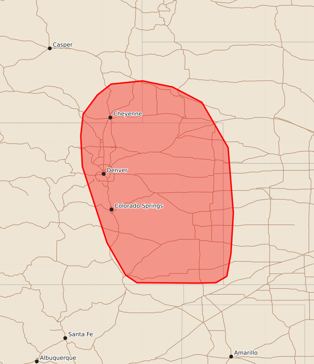
Summary
Thunderstorms moving eastward across portions of the central High Plains this evening may produce isolated severe wind gusts and large hail.
Product Text
000 ACUS11 KWNS 132042 SWOMCD SPC MCD 132041 NEZ000-KSZ000-COZ000-WYZ000-132245- Mesoscale Discussion 1971 NWS Storm Prediction Center Norman OK 0341 PM CDT Thu Aug 13 2026 Areas affected...portions of the central High Plains Concerning...Severe potential...Watch unlikely Valid 132041Z - 132245Z Probability of Watch Issuance...20 percent SUMMARY...Thunderstorms developing along the Front Range will evolve eastward through this evening, bringing a risk for isolated severe wind gusts and large hail. DISCUSSION...Latest surface analysis depicts a cold front approaching the Front Range across portions of the central High Plains. Easterly, upslope flow within the post-frontal air mass is aiding in the westerly advection of richer low-level moisture (low-to-mid 60s F surface dewpoints). As thunderstorms developing along the Front Range evolve eastward and encounter this greater moisture and buoyancy, at least some increase in the severe risk is expected. Modest effective shear of 20-30 kts (indicated by recent mesoanalysis) and cold pool consolidation should primarily favor a multicellular/cluster storm mode, with damaging/severe wind gusts the primary hazard owing to steep low-level lapse rates. Isolated large hail may also accompany any more robust updrafts given the presence of steeper mid-level lapse rates. Watch issuance appears unlikely at this time owing to the expectation for the severe risk to remain generally limited in coverage and magnitude. ..Chalmers/Guyer.. 08/13/2026 ...Please see www.spc.noaa.gov for graphic product... ATTN...WFO...LBF...DDC...GLD...PUB...BOU...CYS... LAT...LON 37210193 37050220 37040264 37050416 37240444 38040490 39920551 40680555 41220549 41690514 41960480 42040402 41890328 41510255 40390190 38780177 37770183 37210193 MOST PROBABLE PEAK WIND GUST...55-70 MPH MOST PROBABLE PEAK HAIL SIZE...UP TO 1.25 IN