Mesoscale Discussion 1748
Issued: · Valid: –
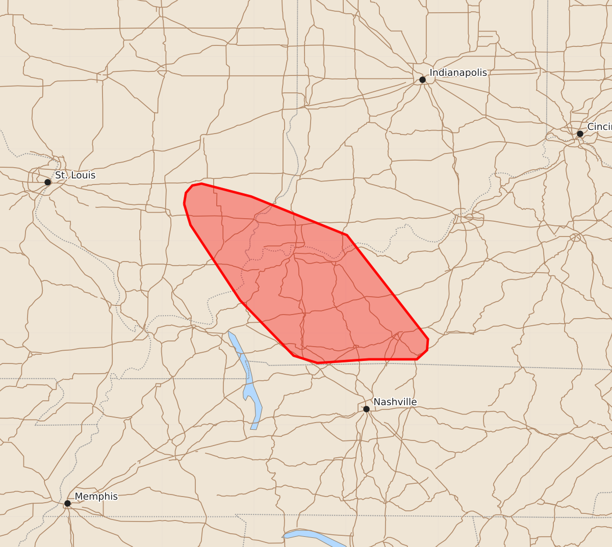
Summary
Damaging wind gusts from severe thunderstorms may impact portions of far southern Illinois, extreme southwestern Indiana, and western Kentucky through tonight. These storms are expected to produce wind gusts between 55 and 70 mph and hail up to 1.25 inches.
Product Text
000 ACUS11 KWNS 262334 SWOMCD SPC MCD 262333 KYZ000-INZ000-ILZ000-270000- Mesoscale Discussion 1748 NWS Storm Prediction Center Norman OK 0633 PM CDT Sun Jul 26 2026 Areas affected...portions of far southern Illinois...extreme southwestern Indiana...and western Kentucky Concerning...Severe Thunderstorm Watch 516... Valid 262333Z - 270000Z The severe weather threat for Severe Thunderstorm Watch 516 continues. SUMMARY...A cluster of damaging gusts may develop over the next hour or so. DISCUSSION...Multicells/transient supercells have merged over southeastern IL into extreme southwestern IN and western KY over the past hour. These storms have become outflow dominant, with a maturing and progressive cold pool propagating southeast in tandem with the mean wind. If these storms can maintain their current intensity over the next couple of hours, a localized but dense swath of potential damaging winds may occur, including a few embedded severe gusts. ..Squitieri.. 07/26/2026 ...Please see www.spc.noaa.gov for graphic product... ATTN...WFO...LMK...PAH...ILX...LSX... LAT...LON 38408876 38528874 38608867 38628857 38488803 38068699 36938611 36818612 36718623 36718675 36678731 36758757 37358815 38178869 38408876 MOST PROBABLE PEAK TORNADO INTENSITY...UP TO 90 MPH MOST PROBABLE PEAK WIND GUST...55-70 MPH MOST PROBABLE PEAK HAIL SIZE...UP TO 1.25 IN