Day 2 Convective Outlook
This product has been superseded. View the updated product →
Issued: · Valid: –
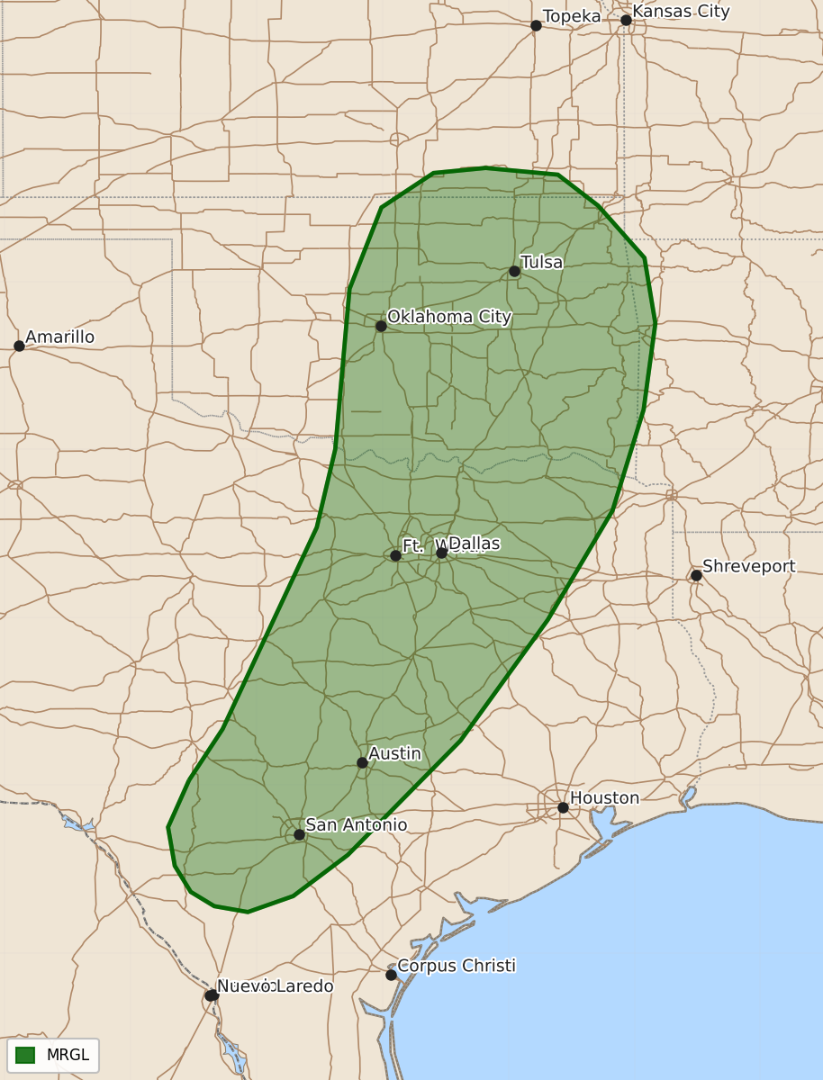
Summary
Isolated severe thunderstorms capable of producing damaging wind gusts are possible across parts of the southern Plains, including central Texas and eastern Oklahoma, on Thursday afternoon and evening.
Product Text
000 ACUS02 KWNS 300543 SWODY2 SPC AC 300541 Day 2 Convective Outlook NWS Storm Prediction Center Norman OK 1241 AM CDT Wed Sep 30 2026 Valid 011200Z - 021200Z ...THERE IS A MARGINAL RISK OF SEVERE THUNDERSTORMS ACROSS PARTS OF THE SOUTHERN PLAINS... ...SUMMARY... Thunderstorms with isolated severe wind gusts will be possible on Thursday across parts of the southern Plains. ...Southern Plains... A positively-tilted mid-level shortwave trough will move northeastward across the southern Plains on Thursday. At the surface, a cold front will advance south-southeastward across Oklahoma and west Texas. Ahead of the front, surface dewpoints from the mid 60s to lower 70s F will contribute to destabilization along a corridor from central Texas north-northeastward into eastern Oklahoma. As surface temperatures warm, isolated to scattered thunderstorms will possible along and near the instability axis in areas where low-level convergence becomes maximized. By mid to late afternoon, steepening low-level lapse rates will make isolated severe wind gusts a possibility. This threat could continue into the early evening as low-level flow increases. Any wind-damage threat that develops is expected to remain marginal. ..Broyles.. 09/30/2026 $$