Mesoscale Discussion 1571
Issued: · Valid: –
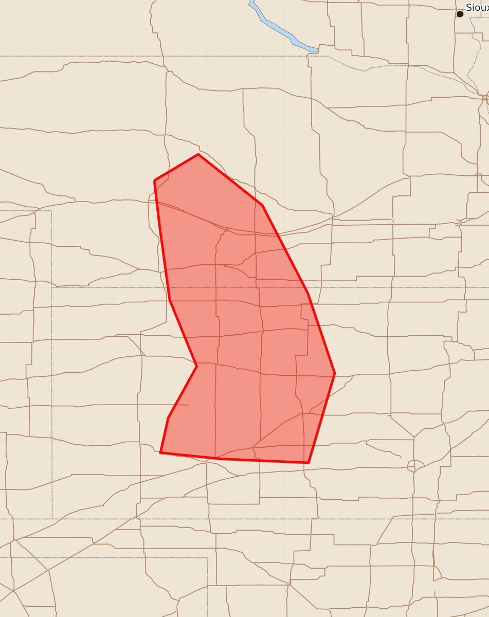
Summary
Severe thunderstorms capable of producing localized strong wind gusts and isolated hail will affect southwest and south-central Nebraska into western and central Kansas through the early morning hours. Expected severity includes wind gusts of 55 to 70 mph and hail up to 1.25 inches.
Product Text
000 ACUS11 KWNS 100444 SWOMCD SPC MCD 100444 KSZ000-NEZ000-100615- Mesoscale Discussion 1571 NWS Storm Prediction Center Norman OK 1144 PM CDT Thu Jul 09 2026 Areas affected...Southwest/south-central NE into western/central KS Concerning...Severe Thunderstorm Watch 478... Valid 100444Z - 100615Z The severe weather threat for Severe Thunderstorm Watch 478 continues. SUMMARY...Localized severe gusts and perhaps isolated hail may continue into the early morning. DISCUSSION...A convective line with a history of producing severe gusts has shown recent signs of weakening across western KS. With increasing CINH downstream into central KS, a notable uptick in storm organization is not currently anticipated. However, given the presence of a relatively well established cold pool and rear-inflow jet (noted on the KGLD VWP), strong to localized severe gusts will remain possible until a more definitive weakening trend occurs. Farther north, merging outflows have resulted in storm intensification near North Platte. Isolated hail may continue to be a threat in the short term with this storm, while localized strong to severe gusts may eventually spread into south-central NE, where moderate buoyancy remains in place. ..Dean.. 07/10/2026 ...Please see www.spc.noaa.gov for graphic product... ATTN...WFO...ICT...GID...LBF...DDC...GLD... LAT...LON 41390069 41730012 41079929 39939870 38899835 37739869 37789982 37860061 38310051 38980014 39840049 40790062 41390069 MOST PROBABLE PEAK WIND GUST...55-70 MPH MOST PROBABLE PEAK HAIL SIZE...UP TO 1.25 IN