Day 1 Convective Outlook
Issued: · Valid: –
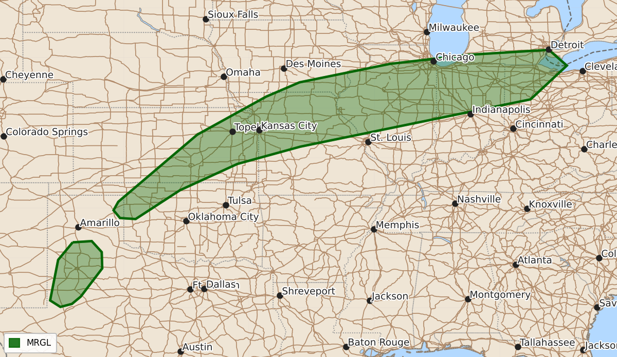
Summary
Severe thunderstorms capable of producing damaging wind and hail are possible this evening across areas ranging from the southern High Plains to the southern Great Lakes.
Product Text
000 ACUS01 KWNS 160101 SWODY1 SPC AC 160059 Day 1 Convective Outlook NWS Storm Prediction Center Norman OK 0759 PM CDT Tue Sep 15 2026 Valid 160100Z - 161200Z ...THERE IS A MARGINAL RISK OF SEVERE THUNDERSTORMS FOR PORTIONS OF WESTERN TEXAS AND NORTHWESTERN OKLAHOMA TO THE SOUTHERN GREAT LAKES... ...SUMMARY... A couple of severe thunderstorms, accompanied by a severe wind and hail threat, remain possible this evening across the southern High Plains to the southern Great Lakes. ...Synopsis... A broad upper ridge remains in place across the central and eastern CONUS, with a low-amplitude trough currently located over the Pacific Northwest. Ahead of the upper trough, a 500 mb jet streak, accompanying a mid-level impulse, is currently overspreading the Upper MS Valley. As a result, weak surface troughing and northward low-level moisture advection are supporting a band scattered thunderstorms along the west-northwestern periphery of the upper ridge. Stronger flow aloft glancing the upper ridge periphery, amid moderate buoyancy, will support a few strong to severe thunderstorms for a few more hours, from the southern High Plains to the Lower Great Lakes. ...Southern High Plains... Pulse cellular and multicellular clusters, with a history of severe gusts, continue to traverse a mixed boundary layer, characterized by low to mid 90s F surface temperatures. Despite the persistent warm temperatures, nocturnal cooling should eventually reduce severe gust potential. In the meantime, 1500+ J/kg DCAPE will promote adequate evaporative cooling potential with the stronger storm cores to support a short-duration severe gust threat. ...Northwestern OK to the southern Great Lakes... Scattered to widespread thunderstorms remain in progress along the west-northwest periphery of the upper ridge. Given the 500 mb jet streak over the Upper MS Valley, 30-40 kts of effective bulk shear is overspreading the upper ridge periphery, especially over northern MO, where the strongest storms are currently located. 1000-2000 J/kg MLCAPE overlapping the aforementioned shear will continue to promote multicellular clusters and a couple of supercells, accompanied by a severe wind and hail threat for at least a few more hours. ..Squitieri.. 09/16/2026 $$