Mesoscale Discussion 1848
Issued: · Valid: –
Summary
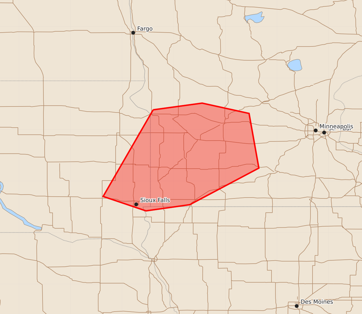
Increasing thunderstorm coverage may bring small to marginally severe hail to parts of eastern South Dakota and southwestern Minnesota through early morning hours.
Product Text
000 ACUS11 KWNS 071023 SWOMCD SPC MCD 071023 MNZ000-IAZ000-SDZ000-071300- Mesoscale Discussion 1848 NWS Storm Prediction Center Norman OK 0523 AM CDT Fri Aug 07 2026 Areas affected...parts of eastern South Dakota into southwestern Minnesota Concerning...Severe potential...Watch unlikely Valid 071023Z - 071300Z Probability of Watch Issuance...5 percent SUMMARY...Thunderstorms may continue to increase in coverage, with stronger storms accompanied by small to marginally severe hail before consolidating into a more prominent cluster by 7-9 AM CDT. With the risk for severe weather expected to remain limited, a severe weather watch is not anticipated, but trends will be monitored. DISCUSSION...To the south of digging mid-level troughing across the international border area, an associated cold front continues to advance slowly southeastward across the northern Great Plains toward the Upper Midwest. Based on forecast soundings, thermodynamic profiles ahead of the front are characterized by a relatively cool, stable boundary layer surmounted by dry elevated mixed-layer air based around 850 mb. However, within a pre-frontal corridor of lower/mid-tropospheric warm advection across eastern South Dakota into southwestern Minnesota, moisture return is contributing to sufficient destabilization to support increasing thunderstorm development. Deeper boundary-layer based moisture return appears confined to a narrow corridor along a southwesterly pre-frontal low-level jet, which is forecast to nose across the South Dakota/Minnesota state border area through 13-15Z, before being overtaken by the cold front. Aided by destabilization in the presence of increasing large-scale ascent, thunderstorm development may continue to increase into a consolidating/upscale growing cluster. As this occurs, the potential for small to marginally severe hail in stronger storms may remain limited and/or tend to diminish, and a lingering near-surface inversion layer probably will minimize the risk for severe surface gusts. ..Kerr/Smith.. 08/07/2026 ...Please see www.spc.noaa.gov for graphic product... ATTN...WFO...MPX...FSD...ABR... LAT...LON 45389640 45519545 45319454 44259435 43549569 43429654 43709737 45389640 MOST PROBABLE PEAK WIND GUST...UP TO 60 MPH MOST PROBABLE PEAK HAIL SIZE...1.00-1.75 IN