Mesoscale Discussion 1734
Issued: · Valid: –
Summary
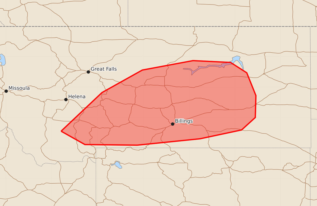
Severe thunderstorms capable of producing wind gusts exceeding 75 mph will affect portions of central and southern Montana through the evening.
Product Text
000 ACUS11 KWNS 252313 SWOMCD SPC MCD 252313 MTZ000-260045- Mesoscale Discussion 1734 NWS Storm Prediction Center Norman OK 0613 PM CDT Sat Jul 25 2026 Areas affected...portions of central into southern Montana Concerning...Severe Thunderstorm Watch 514... Valid 252313Z - 260045Z The severe weather threat for Severe Thunderstorm Watch 514 continues. SUMMARY...Severe gusts remain a concern through the evening hours with the stronger, longer-lived storms. A gust or two could exceed 75 mph. DISCUSSION...Pulse cellular and multicellular storms continue to track across central and southern MT, amid a modestly unstable and sheared airmass. Surface temperatures remain above 100 F, amid mid 40s F dewpoints ahead of the storms, yielding 50+ F surface T/Td spreads. DCAPE exceeds 2000 J/kg in some locales (per 23Z mesoanalysis). As such, enough evaporative cooling with the deeper storm cores will support downbursts easily capable of producing 60+ mph gusts, a couple of which may also exceed 75 mph. ..Squitieri/Hart.. 07/25/2026 ...Please see www.spc.noaa.gov for graphic product... ATTN...WFO...BYZ...GGW...TFX... LAT...LON 45551219 46821085 47560953 47870787 47810664 47470611 46720581 46000583 45590628 45300764 45090970 45111141 45551219 MOST PROBABLE PEAK WIND GUST...65-80 MPH