Watch 546 Outline
Issued:
Summary
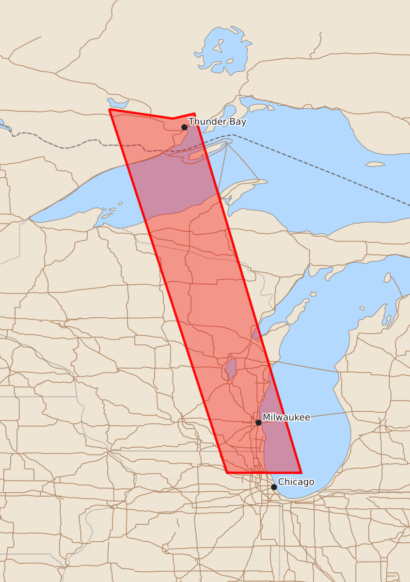
A severe thunderstorm watch is in effect for parts of Illinois and Wisconsin, including the areas around Milwaukee and Racine, until 3:00 PM CDT. Expected hazards include one-inch hail and wind gusts up to 60 knots.
Product Text
000 WWUS30 KWNS 091444 SAW6 SPC AWW 091444 WW 546 SEVERE TSTM IL WI LM 091445Z - 091900Z AXIS..35 STATUTE MILES EAST AND WEST OF LINE.. 50NNW MKE/MILWAUKEE WI/ - 45S RAC/RACINE WI/ ..AVIATION COORDS.. 30NM E/W /30N BAE - 9NNE ORD/ HAIL SURFACE AND ALOFT..1 INCH. WIND GUSTS..60 KNOTS. MAX TOPS TO 500. MEAN STORM MOTION VECTOR 29035. LAT...LON 43628758 42118713 42118849 43628898 THIS IS AN APPROXIMATION TO THE WATCH AREA. FOR A COMPLETE DEPICTION OF THE WATCH SEE WOUS64 KWNS FOR WOU6.