Mesoscale Discussion 2281
Issued: · Valid: –
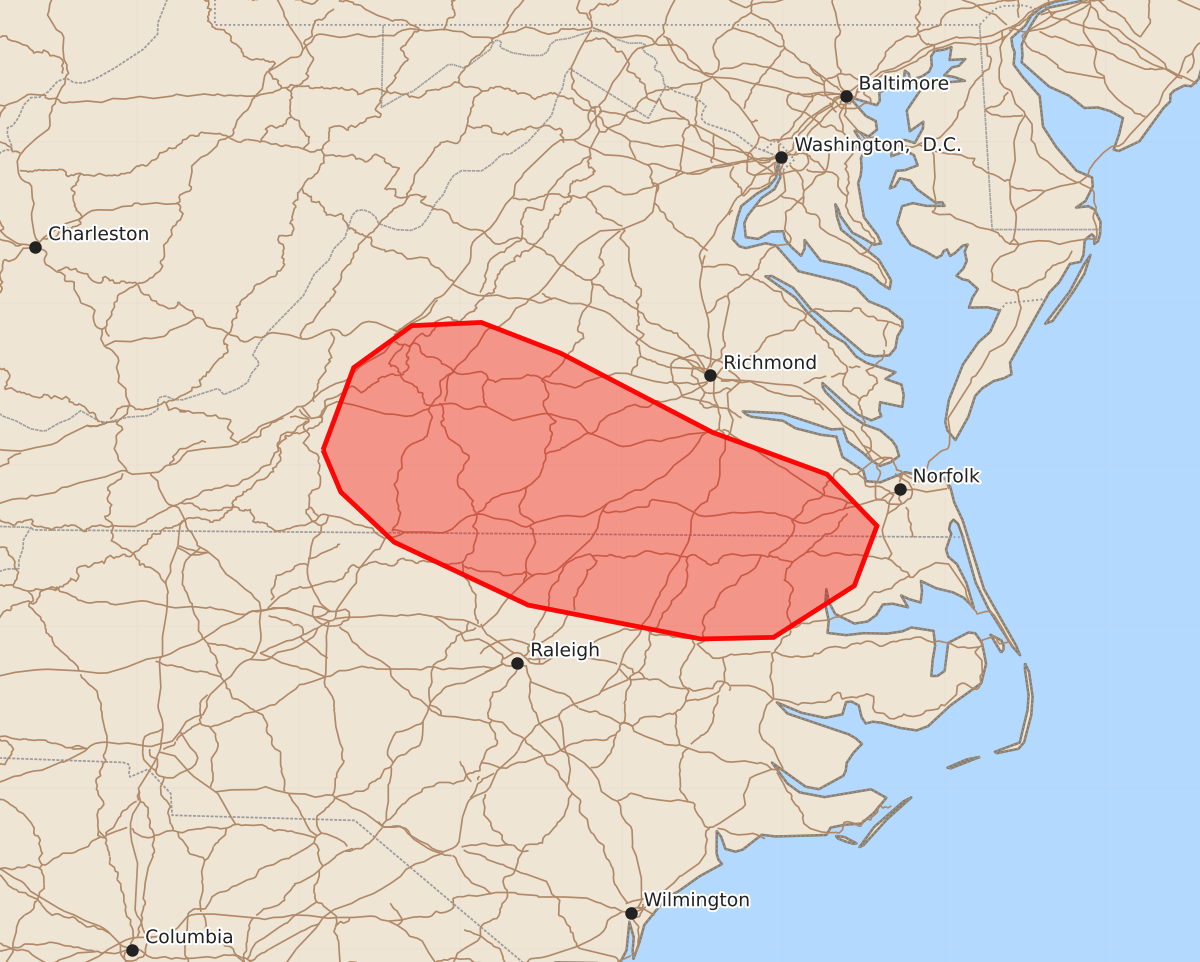
Summary
Isolated thunderstorms may produce locally damaging wind gusts and occasional hail across parts of southern Virginia and northern North Carolina through the remainder of the afternoon.
Product Text
000 ACUS11 KWNS 111937 SWOMCD SPC MCD 111937 NCZ000-VAZ000-112200- Mesoscale Discussion 2281 NWS Storm Prediction Center Norman OK 0237 PM CDT Fri Sep 11 2026 Areas affected...Parts of southern Virginia and northern North Carolina Concerning...Severe potential...Watch unlikely Valid 111937Z - 112200Z Probability of Watch Issuance...20 percent SUMMARY...A few thunderstorms could pose a risk of locally damaging wind gusts through the remainder of the afternoon. DISCUSSION...The latest surface analysis and visible satellite imagery indicate a stationary boundary extending from far northeastern NC into south-central VA. Here, continued diurnal heating/destabilization of a moist air mass (lower 70s dewpoints) is yielding moderate surface-based buoyancy. Despite the stronger midlevel flow and related deep-layer shear being displaced slightly to the north, this boundary should continue to provide a focus for loosely organized thunderstorm clusters through the remainder of the afternoon. Steepening low-level lapse rates will promote locally damaging wind gusts with the stronger clusters that evolve, and isolated/marginally severe hail cannot be ruled out with any favorable cell/boundary interactions. ..Weinman/Guyer.. 09/11/2026 ...Please see www.spc.noaa.gov for graphic product... ATTN...WFO...AKQ...MHX...LWX...RAH...RNK... LAT...LON 37097985 37607966 37867930 37887887 37697838 37207744 36947673 36627642 36257656 35937706 35927751 36137858 36527941 36837974 37097985 MOST PROBABLE PEAK WIND GUST...55-70 MPH MOST PROBABLE PEAK HAIL SIZE...UP TO 1.25 IN