Mesoscale Discussion 1339
Issued: · Valid: –
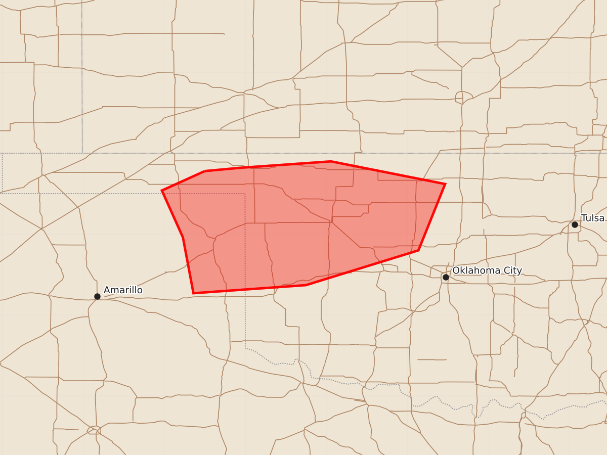
Summary
Scattered strong thunderstorms capable of producing large hail and damaging wind gusts are expected across parts of the Texas and Oklahoma Panhandles and northwestern Oklahoma through the evening.
Product Text
000 ACUS11 KWNS 262228 SWOMCD SPC MCD 262228 OKZ000-TXZ000-270030- Mesoscale Discussion 1339 NWS Storm Prediction Center Norman OK 0528 PM CDT Fri Jun 26 2026 Areas affected...parts of the Texas/Oklahoma Panhandles...northwestern Oklahoma Concerning...Severe potential...Watch possible Valid 262228Z - 270030Z Probability of Watch Issuance...60 percent SUMMARY...Scattered strong thunderstorm development is underway and could persist into at least the 7-9 PM CDT time frame, accompanied by potential for producing large hail and locally damaging wind gusts. DISCUSSION...A subtle short wave perturbation migrating around the northern periphery of subtropical ridging may be suppressing otherwise larger-scale mid-level height rises across the region, as thunderstorm development begins to initiate, aided by at least a couple zones of stronger low-level convergence/confluence within lee surface troughing. This is occurring in the presence of modest westerly deep-layer mean flow on the order of 20 kt, but veering of winds with height in lower to mid-levels may be contributing to sufficient shear for organized thunderstorm development. Mid-level thermodynamic profiles are also relatively warm, but the boundary-layer is characterized by seasonably high moisture content. This appears to be contributing to CAPE on the order of 3000 J/kg. It remains unclear how long, and the extent to which, mid-level inhibition will continue to be overcome. However, the evolution of supercell structures appears possible during the next few hours. ..Kerr.. 06/26/2026 ...Please see www.spc.noaa.gov for graphic product... ATTN...WFO...OUN...AMA... LAT...LON 36780050 36820007 36909894 36629753 35809786 35379925 35270064 35960077 36540103 36780050 MOST PROBABLE PEAK TORNADO INTENSITY...UP TO 90 MPH MOST PROBABLE PEAK WIND GUST...65-80 MPH MOST PROBABLE PEAK HAIL SIZE...1.00-1.75 IN