Mesoscale Discussion 1666
Issued: · Valid: –
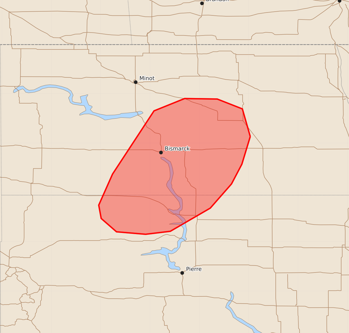
Summary
Severe thunderstorms capable of producing large hail and wind gusts up to 80 mph will affect parts of central North Dakota into north-central South Dakota through the evening. The coverage and intensity of these severe storms are expected to increase over the next few hours.
Product Text
000 ACUS11 KWNS 192349 SWOMCD SPC MCD 192348 NDZ000-SDZ000-200145- Mesoscale Discussion 1666 NWS Storm Prediction Center Norman OK 0648 PM CDT Sun Jul 19 2026 Areas affected...Parts of central ND into north-central SD Concerning...Severe Thunderstorm Watch 499... Valid 192348Z - 200145Z The severe weather threat for Severe Thunderstorm Watch 499 continues. SUMMARY...The risk of severe wind gusts and large hail will continue to increase in coverage over the next couple of hours -- within Severe Thunderstorm Watch 499. DISCUSSION...Over the last 30 minutes or so, an increase in thunderstorm intensity and coverage has begun, as storms impinge on a plume of lower 70s dewpoints and at least 2000 J/kg MLCAPE per modified 18Z BIS sounding and the latest HRRR SFCOA data. As storms continue spreading/developing eastward, increasing buoyancy will support further intensification of ongoing storms. The BIS VWP is sampling a long/straight hodograph (40-50 kt of 0-6 km shear), which will continue to promote splitting supercells capable of producing severe wind gusts and large hail. Resultant storm mergers and increasingly robust outflow will favor a gradual increase in both the coverage and intensity of severe wind gusts over the next couple of hours. ..Weinman.. 07/19/2026 ...Please see www.spc.noaa.gov for graphic product... ATTN...WFO...FGF...ABR...BIS...UNR... LAT...LON 47139897 46579914 46179935 45689978 45210059 45150109 45200168 45470199 45740204 46370176 47650092 47900030 47899964 47699913 47139897 MOST PROBABLE PEAK WIND GUST...65-80 MPH MOST PROBABLE PEAK HAIL SIZE...1.50-2.50 IN