Mesoscale Discussion 1207
Issued: · Valid: –
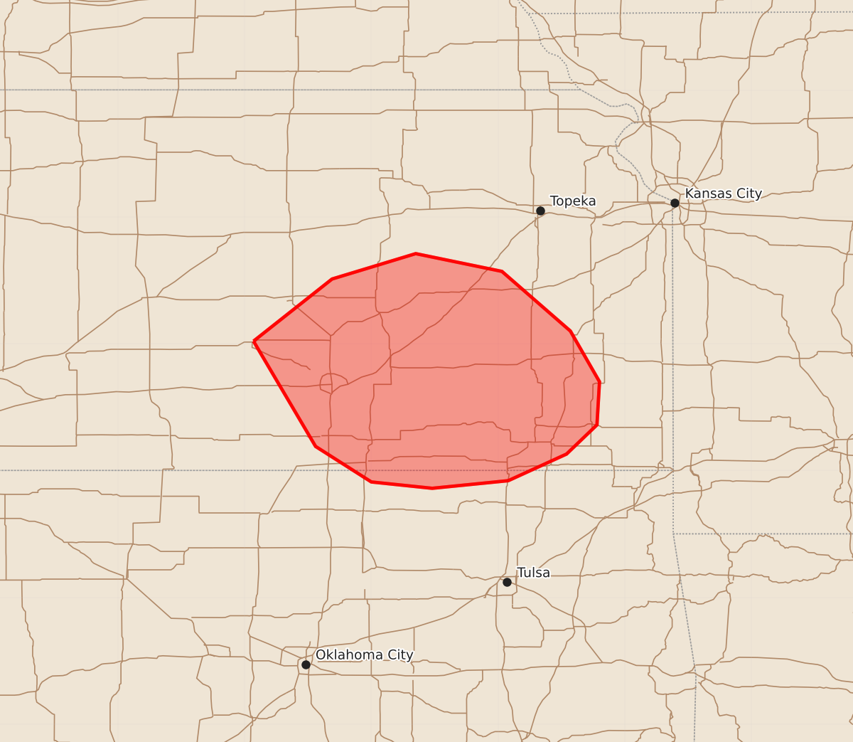
Summary
Isolated severe wind gusts are possible across portions of southeastern Kansas and extreme northeastern Oklahoma through the evening. The threat is expected to be minimal and constrained to a few scattered instances.
Product Text
000 ACUS11 KWNS 200040 SWOMCD SPC MCD 200040 KSZ000-OKZ000-200215- Mesoscale Discussion 1207 NWS Storm Prediction Center Norman OK 0740 PM CDT Fri Jun 19 2026 Areas affected...portions of southeastern Kansas into extreme northeastern Oklahoma Concerning...Severe potential...Watch unlikely Valid 200040Z - 200215Z Probability of Watch Issuance...5 percent SUMMARY...A couple of severe gusts are possible over the next few hours with an ongoing MCS. The severe threat should remain isolated, so a WW issuance is not expected. DISCUSSION...MRMS mosaic radar imagery and surface observations depict a cold-pool-driven MCS propagating south-southeastward across southeastern KS. This MCS is traversing a diffuse baroclinic boundary, where marginal instability is in place. However, 00Z mesoanalysis and the Topeka 00Z observed sounding shows around 40 kts of effective bulk shear in place, with the shear vectors oriented perpendicular to the MCS leading line orientation, suggesting some potential for this MCS to continue propagating southeastward for a few more hours. Multiple surface observations have shown sub-severe gusts so far (i.e. around 35 kts). However, given the somewhat organized structure of this MCS, a severe gust or two is possible. Nonetheless, given the mediocre ambient environment, the severe threat is expected to remain constrained in space and time, so a WW issuance is not expected. ..Squitieri/Smith.. 06/20/2026 ...Please see www.spc.noaa.gov for graphic product... ATTN...WFO...TSA...TOP...ICT...OUN... LAT...LON 38029793 38519731 38719665 38579597 38109543 37709520 37369522 37139546 36929592 36869652 36919700 37199744 38029793 MOST PROBABLE PEAK WIND GUST...55-70 MPH