Mesoscale Discussion 1922
Issued: · Valid: –
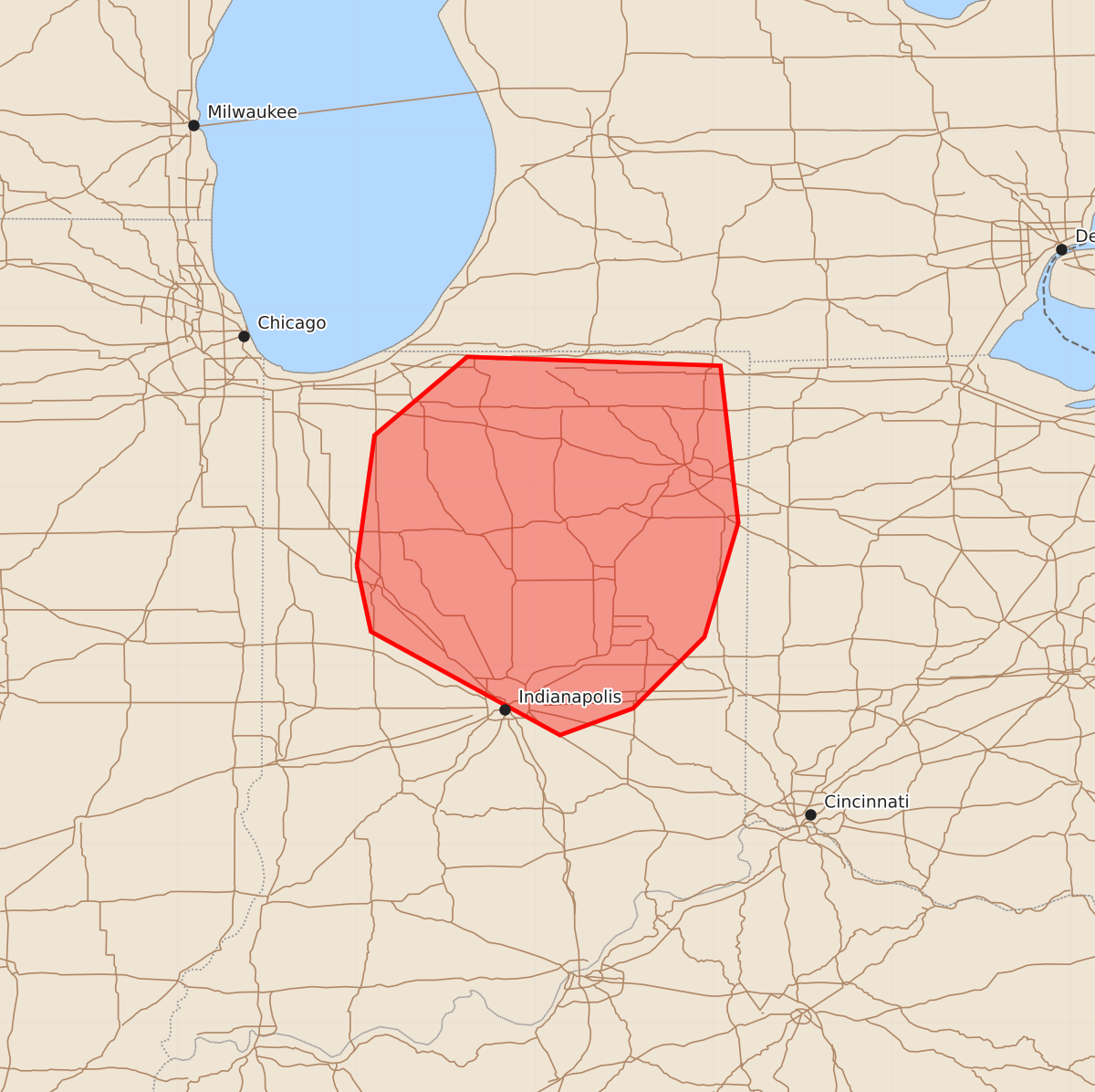
Summary
Severe thunderstorms capable of producing large hail and damaging wind gusts are expected to increase across northern and central Indiana this morning. The threat will intensify as storms move in from the northwest, potentially bringing significant wind gusts between 65 and 80 mph.
Product Text
000 ACUS11 KWNS 111431 SWOMCD SPC MCD 111431 INZ000-111630- Mesoscale Discussion 1922 NWS Storm Prediction Center Norman OK 0931 AM CDT Tue Aug 11 2026 Areas affected...northern and central Indiana Concerning...Severe potential...Watch likely Valid 111431Z - 111630Z Probability of Watch Issuance...80 percent SUMMARY...The threat for severe weather is expected to increase this morning, likely necessitating a watch issuance. DISCUSSION...A gradual increase in thunderstorms, including splitting supercell structures, has been observed over northwest IN over the past hour or so. That activity appears to be associated with a zone of warm advection occurring to the north of an outflow boundary extending from west-central through southeast IN. Regional 12Z soundings sampled a strongly unstable environment in place this morning, which is likely to sustain the ongoing storms with some large hail and locally damaging wind potential. A greater severe weather threat, mainly in the form of damaging winds with significant gusts, is expected to move into the area from the northwest in association with a bowing MCS ongoing across north-central IL. ..Mead/Hart.. 08/11/2026 ...Please see www.spc.noaa.gov for graphic product... ATTN...WFO...IWX...IND...LOT... LAT...LON 40568700 41298690 41738638 41688496 40808486 40168505 39768545 39618586 40198692 40568700 MOST PROBABLE PEAK TORNADO INTENSITY...UP TO 90 MPH MOST PROBABLE PEAK WIND GUST...65-80 MPH