Mesoscale Discussion 1967
Issued: · Valid: –
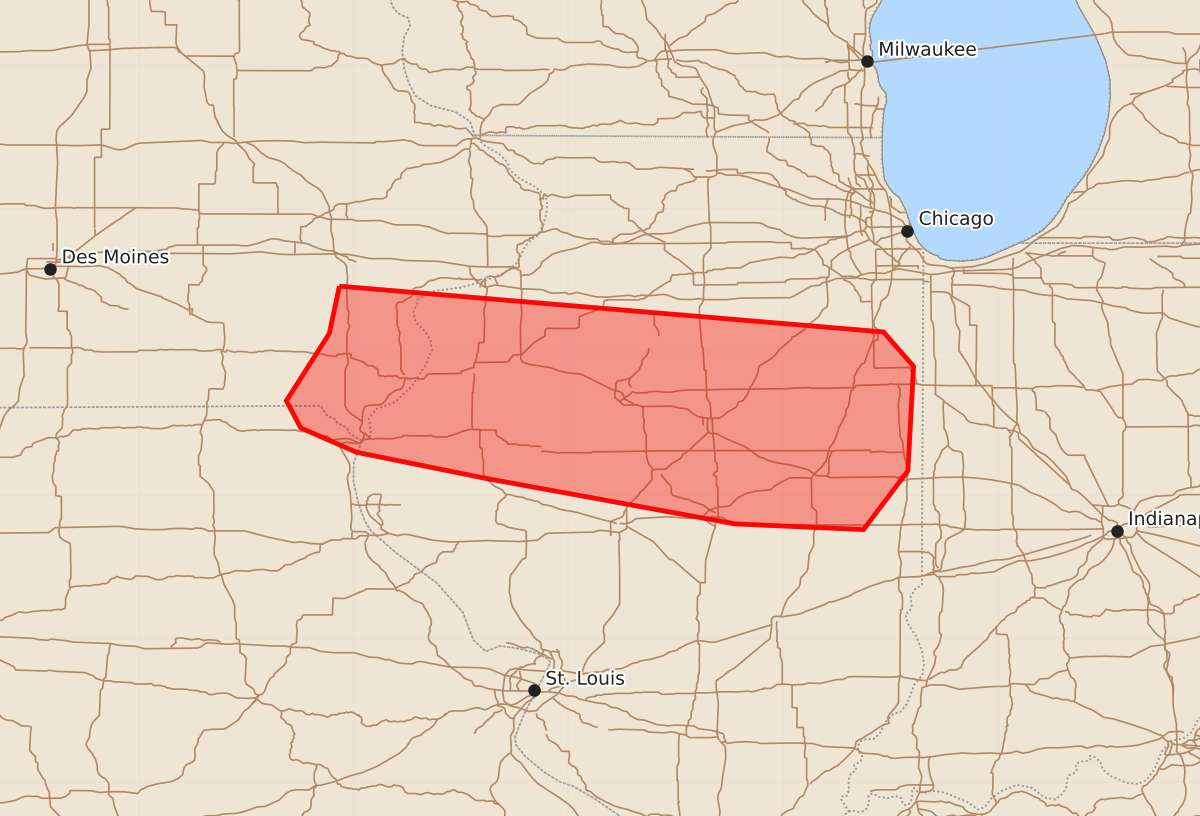
Summary
Strong to severe storms are expected to move into central Illinois this morning, potentially bringing damaging wind gusts of 55 to 70 mph and hail up to 1.25 inches.
Product Text
000 ACUS11 KWNS 131528 SWOMCD SPC MCD 131528 ILZ000-IAZ000-MOZ000-131800- Mesoscale Discussion 1967 NWS Storm Prediction Center Norman OK 1028 AM CDT Thu Aug 13 2026 Areas affected...central Illinois Concerning...Severe potential...Watch possible Valid 131528Z - 131800Z Probability of Watch Issuance...60 percent SUMMARY...Strong to severe storms will move out of Iowa and into Illinois this morning. Depending on storm trends, a watch could be needed for scattered damaging gusts. DISCUSSION...A well-defined MCS continues to push across eastern IA, with primary convective line over southeast IA and into far northeast MO. Storm trends suggest some weakening has occurred over the past few hours, though locally strong gusts have been reported over IA. Downstream of this system, cooler/more stable air exists over northern IL and IN, with an instability gradient extending from central IL into southern IN. This instability may develop very slowly northward during the afternoon. Wind shear is a bit marginal for sustained storms, but midlevel westerlies around 30 kt, combined with strengthening low-level winds during the afternoon may provide a slightly better environment. ..Jewell.. 08/13/2026 ...Please see www.spc.noaa.gov for graphic product... ATTN...WFO...LOT...ILX...LSX...DVN... LAT...LON 41469160 41148780 40908759 40178763 39768794 39808884 40129059 40309148 40479187 40669197 41139167 41469160 MOST PROBABLE PEAK WIND GUST...55-70 MPH MOST PROBABLE PEAK HAIL SIZE...UP TO 1.25 IN