Mesoscale Discussion 2311
Issued: · Valid: –
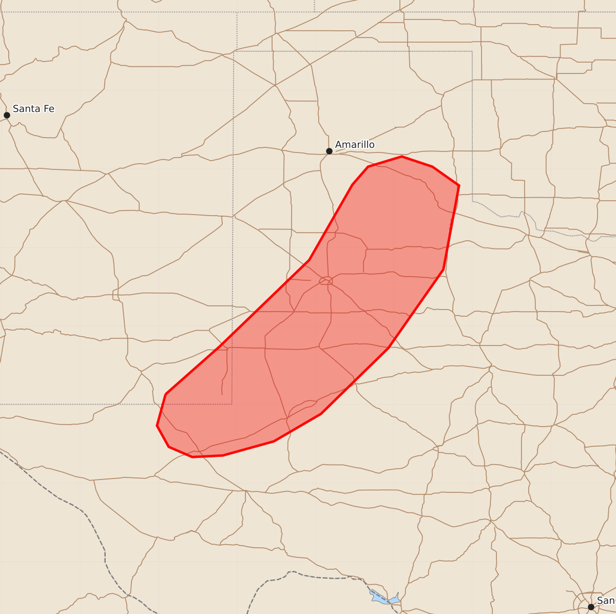
Summary
Strong winds and marginally severe hail may occur this evening across far eastern New Mexico and southwestern Texas.
Product Text
000 ACUS11 KWNS 200000 SWOMCD SPC MCD 192359 TXZ000-NMZ000-200200- Mesoscale Discussion 2311 NWS Storm Prediction Center Norman OK 0659 PM CDT Sat Sep 19 2026 Areas affected...far eastern New Mexico into southwestern Texas Concerning...Severe potential...Watch unlikely Valid 192359Z - 200200Z Probability of Watch Issuance...5 percent SUMMARY...A few instances of strong to severe wind and marginally severe hail will be possible this evening. DISCUSSION...Thunderstorm activity continues near the surface trough across western Texas into eastern New Mexico. While the air mass in this area remains moderately unstable amid steep lapse rate profiles, deep layer shear is fairly weak (around 20-30 kts). This is also mostly confined to the the area immediately near the surface trough. This will likely lead to outflow dominant storms with potential for a few instances of strong to severe wind and perhaps some marginally severe hail. As such, the threat is expected to remain fairly localized and should decrease with loss of daytime heating. This will likely preclude the need for watch issuance. ..Thornton/Hart.. 09/19/2026 ...Please see www.spc.noaa.gov for graphic product... ATTN...WFO...LUB...AMA...MAF... LAT...LON 32130391 32740322 33840208 34800153 35030133 35160090 35030051 34790017 33720037 32720107 31880193 31530253 31350318 31330357 31460387 31730402 32130391 MOST PROBABLE PEAK WIND GUST...65-80 MPH MOST PROBABLE PEAK HAIL SIZE...UP TO 1.25 IN