Mesoscale Discussion 1756
Issued: · Valid: –
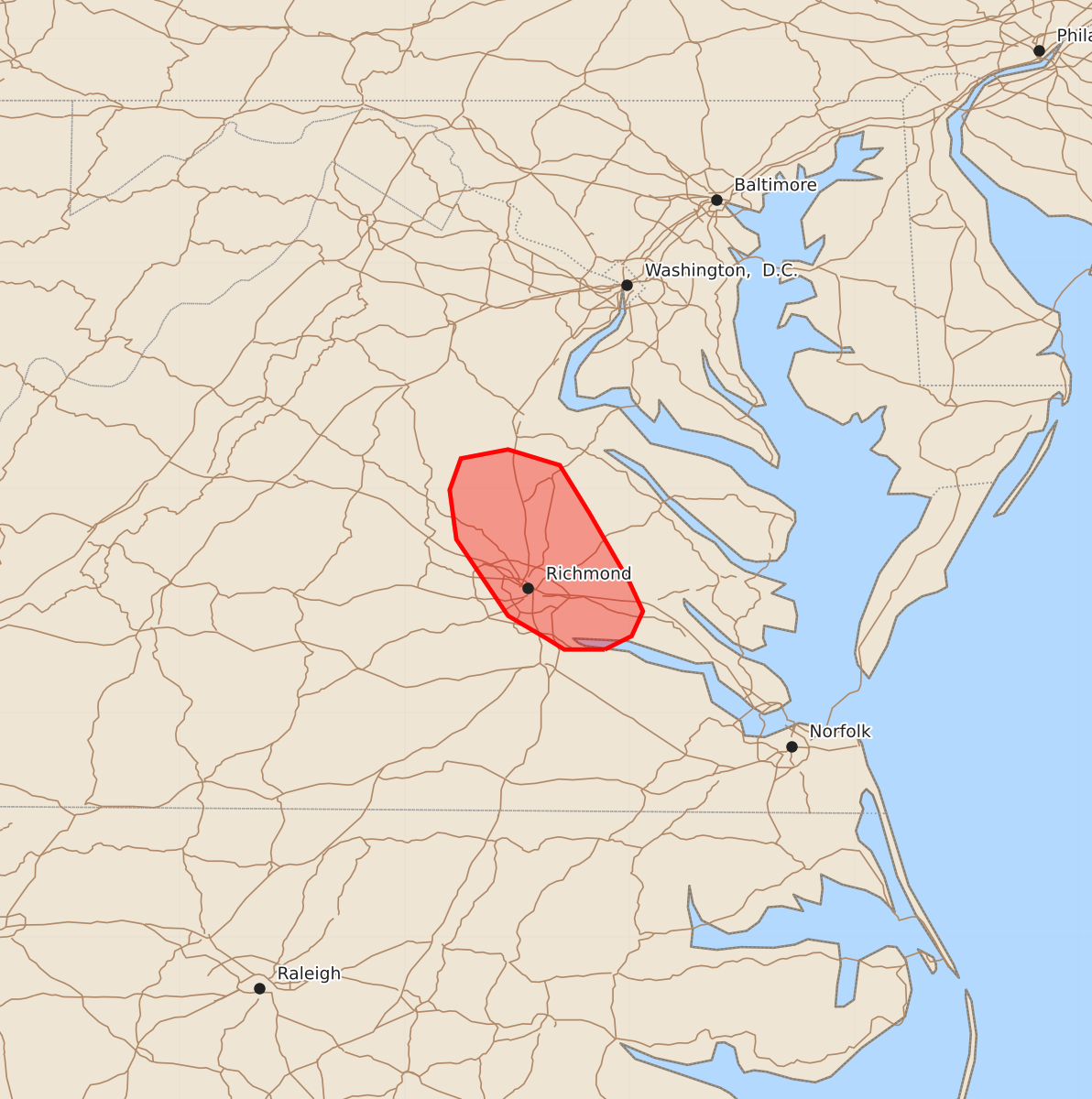
Summary
A supercell moving through central Virginia near the Richmond metro area may produce isolated damaging winds and small to marginally severe hail through early morning hours.
Product Text
000 ACUS11 KWNS 270636 SWOMCD SPC MCD 270635 VAZ000-270730- Mesoscale Discussion 1756 NWS Storm Prediction Center Norman OK 0135 AM CDT Mon Jul 27 2026 Areas affected...Portions of central Virginia Concerning...Severe potential...Watch unlikely Valid 270635Z - 270730Z Probability of Watch Issuance...5 percent SUMMARY...A supercell moving southward near I-95 in central Virginia may produce isolated wind damage and small to marginally severe hail. DISCUSSION...Convection continues in parts of central Virginia in association with a passing shortwave trough. Despite some nocturnal cooling, modified observed 00Z soundings from the Mid-Atlantic suggest MLCIN is not overly large/prohibitive. A supercell with a prominent mid-level mesocyclone continues southward near I-95. With the KAKQ VAD showing around 50 kt of 0-6 km shear, this activity should be able to persist for another hour or two before the shortwave trough moves away from the region. Isolated damaging winds and small to marginally severe hail will be possible as this storm tracks near the Richmond metro. ..Wendt/Guyer.. 07/27/2026 ...Please see www.spc.noaa.gov for graphic product... ATTN...WFO...AKQ...LWX... LAT...LON 37287711 37287729 37337737 37437754 37777777 37997780 38137775 38177754 38107731 37897718 37587700 37457694 37347699 37287711 MOST PROBABLE PEAK WIND GUST...UP TO 60 MPH MOST PROBABLE PEAK HAIL SIZE...UP TO 1.25 IN