Mesoscale Discussion 1532
Issued: · Valid: –
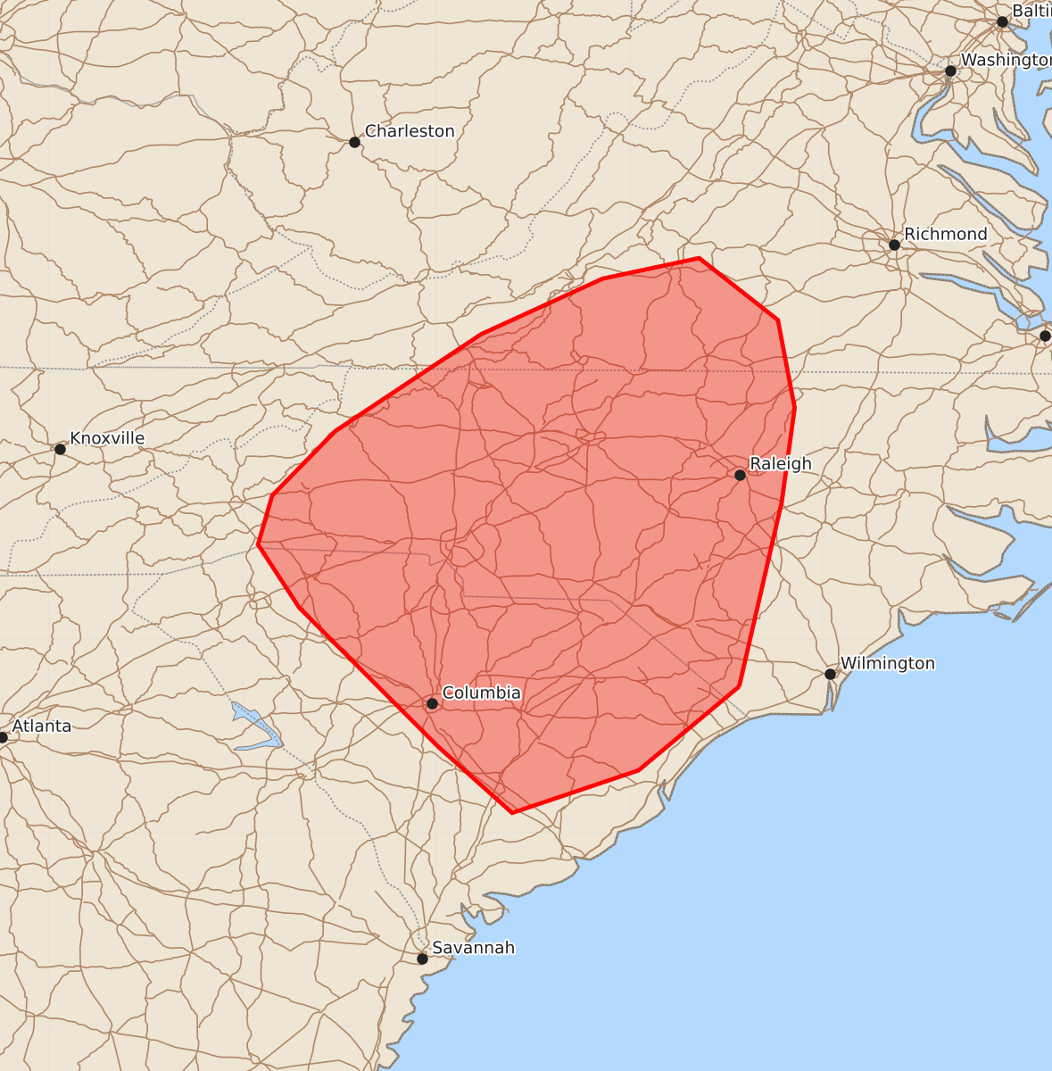
Summary
Isolated strong storms capable of producing damaging wind gusts up to 60 mph may occur across portions of southwestern Virginia, North and South Carolina through early afternoon. The severe threat is expected to be sparse and minimal.
Product Text
000 ACUS11 KWNS 071723 SWOMCD SPC MCD 071722 NCZ000-VAZ000-SCZ000-071845- Mesoscale Discussion 1532 NWS Storm Prediction Center Norman OK 1222 PM CDT Tue Jul 07 2026 Areas affected...portions of far southwestern Virginia...western and central North Carolina...central and eastern South Carolina Concerning...Severe potential...Watch unlikely Valid 071722Z - 071845Z Probability of Watch Issuance...5 percent SUMMARY...A couple of damaging gusts may occur with the stronger storms. The severe threat should remain sparse, so a WW issuance is not expected. DISCUSSION...Pulse-cellular storms have recently developed to the lee of the central Appalachians given strong heating, noted by observations with surface temperatures approaching 90 F amid lows 70s F dewpoints. The last few runs of mesoanalyses show rapid steepening of boundary layer lapse rates (already over 8 C/km), which are contributing up to 2500 J/kg MLCAPE and minimal MLCINH despite poor mid-level lapse rates. This buoyancy will support wet downburst potential with the stronger storms. Nonetheless, relatively weak wind fields through the troposphere should limit the severe threat, with a WW issuance not anticipated. ..Squitieri/Hart.. 07/07/2026 ...Please see www.spc.noaa.gov for graphic product... ATTN...WFO...AKQ...RAH...ILM...RNK...CHS...CAE...GSP... LAT...LON 34137865 33487943 33158041 33668098 34748206 35238238 35618227 36118178 36868065 37297971 37457896 36977835 36297822 35567832 34137865 MOST PROBABLE PEAK WIND GUST...UP TO 60 MPH