Mesoscale Discussion 1735
Issued: · Valid: –
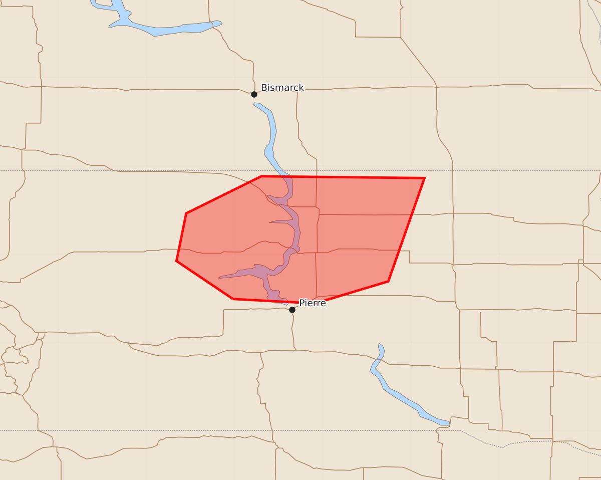
Summary
Severe thunderstorms capable of producing 65 to 80 mph wind gusts and large to very large hail are expected across north-central South Dakota through early evening.
Product Text
000 ACUS11 KWNS 252326 SWOMCD SPC MCD 252325 SDZ000-260100- Mesoscale Discussion 1735 NWS Storm Prediction Center Norman OK 0625 PM CDT Sat Jul 25 2026 Areas affected...North-Central South Dakota Concerning...Severe Thunderstorm Watch 513... Valid 252325Z - 260100Z The severe weather threat for Severe Thunderstorm Watch 513 continues. SUMMARY...Severe wind gusts from 65 to 80 mph and large to very large hail are possible for the next few hours across north-central South Dakota. DISCUSSION...Recent surface analysis places a low over central western South Dakota (about 30-40 miles east of RAP), with a subtle moisture gradient resulting in low-level moisture convergence to the north and northeast of this low. This convergence, aided by weak warm-air advection, has resulted in a band of thunderstorms from northwest into central South Dakota. The downstream airmass is characterized by abundant low-level moisture, very warm temperatures, and strong to very strong buoyancy. Moderate westerly flow aloft atop low-level southeasterlies results in strong vertical shear as well. This activity is expected to persist for the next few hours, although an outflow boundary from the cluster over south-central South Dakota could impact the downstream thermodynamics. A trend towards a more easterly motion is anticipated as well, as storms grow upscale and become better aligned with the deep shear and instability. Severe wind gusts from 65 to 80 mph are the primary hazard, although large to very large hail is possible as well, particularly if any storm mergers occur. ..Mosier.. 07/25/2026 ...Please see www.spc.noaa.gov for graphic product... ATTN...WFO...ABR...UNR... LAT...LON 44490102 44920166 45460155 45880070 45869885 44699926 44440009 44490102 MOST PROBABLE PEAK WIND GUST...65-80 MPH MOST PROBABLE PEAK HAIL SIZE...1.50-2.50 IN