Watch 522 Outline
Issued:
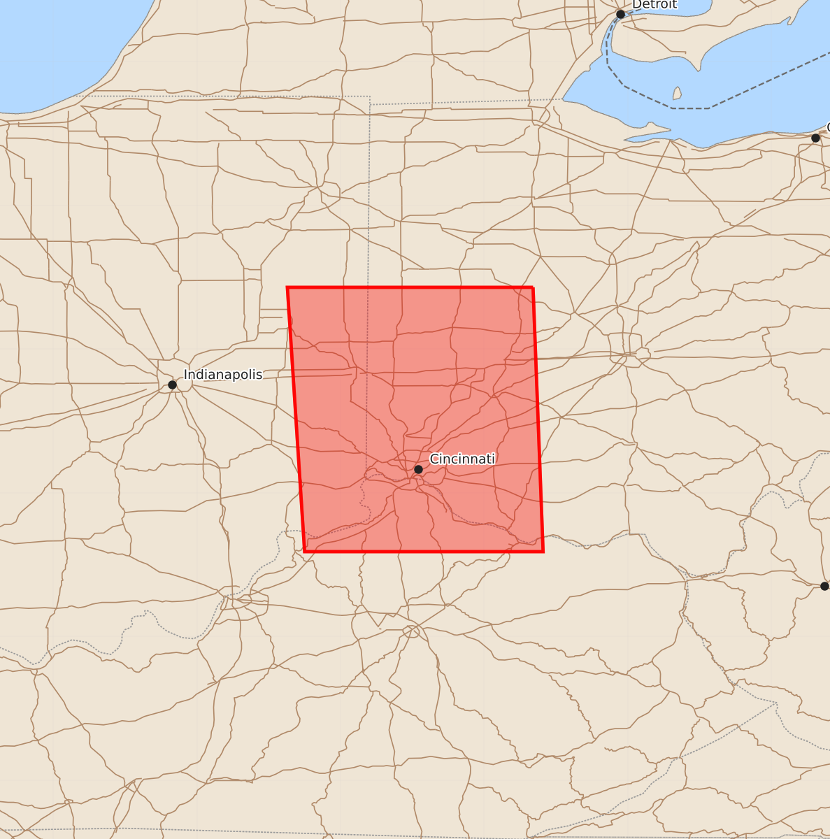
Summary
Severe thunderstorms capable of producing one-inch hail and sixty-knot wind gusts are expected across parts of Kentucky and Ohio from late tonight through early tomorrow morning.
Product Text
000 WWUS30 KWNS 272116 SAW2 SPC AWW 272116 WW 522 SEVERE TSTM IN KY OH 272115Z - 280400Z AXIS..45 STATUTE MILES EAST AND WEST OF LINE.. 40NNW DAY/DAYTON OH/ - 35S LUK/CINCINNATI OH/ ..AVIATION COORDS.. 40NM E/W /23WNW ROD - 29SSE CVG/ HAIL SURFACE AND ALOFT..1 INCH. WIND GUSTS..60 KNOTS. MAX TOPS TO 500. MEAN STORM MOTION VECTOR 30040. LAT...LON 40438366 38598359 38598525 40438537 THIS IS AN APPROXIMATION TO THE WATCH AREA. FOR A COMPLETE DEPICTION OF THE WATCH SEE WOUS64 KWNS FOR WOU2.