Mesoscale Discussion 1436
Issued: · Valid: –
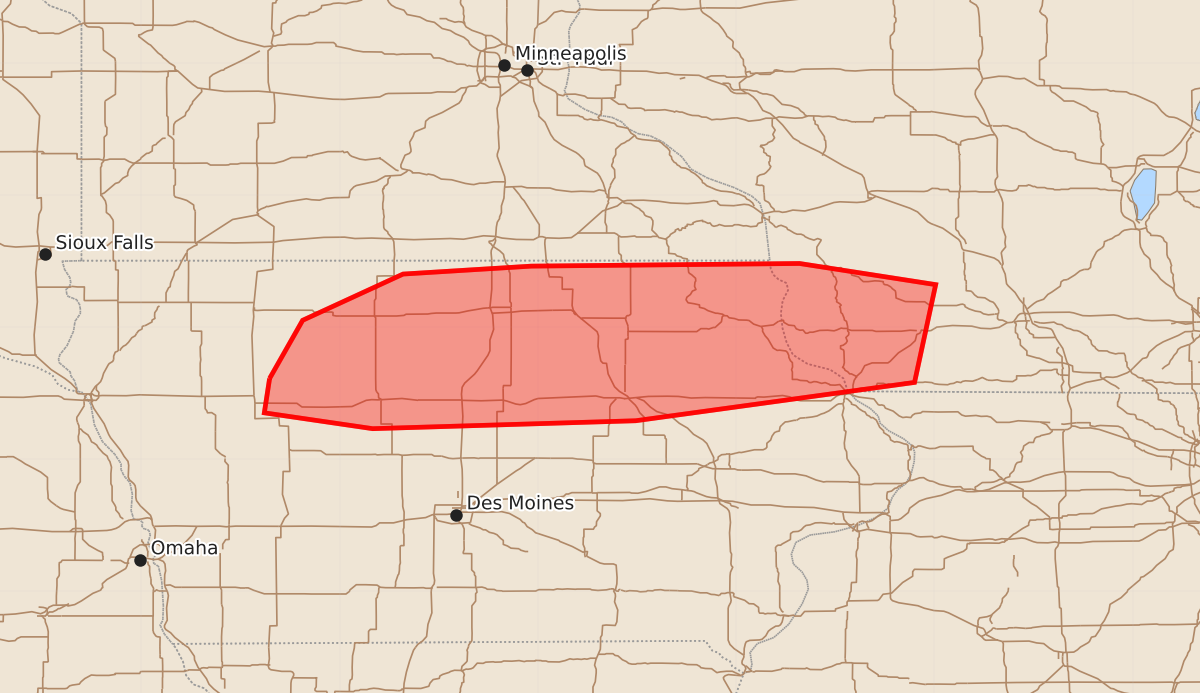
Summary
Large hail and damaging wind threats are expected to increase across northern Iowa into far southwest Wisconsin from late this morning through the afternoon. Potential severity includes wind gusts up to 80 mph and hail up to 2.5 inches in size.
Product Text
000 ACUS11 KWNS 021606 SWOMCD SPC MCD 021605 WIZ000-IAZ000-021730- Mesoscale Discussion 1436 NWS Storm Prediction Center Norman OK 1105 AM CDT Thu Jul 02 2026 Areas affected...northern Iowa into far southwest Wisconsin Concerning...Severe potential...Watch possible Valid 021605Z - 021730Z Probability of Watch Issuance...40 percent SUMMARY...The large hail/damaging wind threat will increase late this morning and into the afternoon. DISCUSSION...Storm coverage has recently increased along a frontal boundary across northern Iowa this morning in response to an approaching mid-level shortwave trough. SPC mesoanalysis indicates the environment along and south of this front is nearly uncapped with 2000 to 2500 J/kg MLCAPE. Ongoing storms are likely elevated, but given continued heating, they may become surface-based in the next 1 to 2 hours. Either way, there is sufficient MUCAPE in the area. This instability, combined with 40 to 50 knots of mid-level flow, will support a supercell threat late this morning and into the early afternoon. ..Bentley/Hart.. 07/02/2026 ...Please see www.spc.noaa.gov for graphic product... ATTN...WFO...MKX...DVN...ARX...DMX...FSD... LAT...LON 42619503 43059478 43409402 43469305 43489102 43328999 42589015 42299226 42239425 42359507 42619503 MOST PROBABLE PEAK TORNADO INTENSITY...UP TO 90 MPH MOST PROBABLE PEAK WIND GUST...65-80 MPH MOST PROBABLE PEAK HAIL SIZE...1.50-2.50 IN