Mesoscale Discussion 1111
Issued: · Valid: –
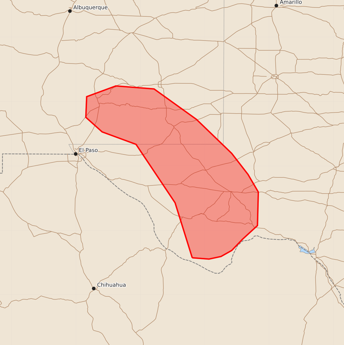
Summary
Isolated severe thunderstorms capable of producing hail and damaging wind gusts may occur across far western Texas and southeastern New Mexico through the evening. These storms are expected to be intermittent and will decrease in intensity as the night progresses.
Product Text
000 ACUS11 KWNS 122239 SWOMCD SPC MCD 122239 TXZ000-NMZ000-130045- Mesoscale Discussion 1111 NWS Storm Prediction Center Norman OK 0539 PM CDT Fri Jun 12 2026 Areas affected...Far Western Texas into Southeastern New Mexico Concerning...Severe potential...Watch unlikely Valid 122239Z - 130045Z Probability of Watch Issuance...5 percent SUMMARY...Thunderstorms will intermittently reach severe criteria before diminishing into the evening as the boundary layer stabilizes. Isolated occurrences of hail and damaging wind gusts are possible, though no watch is expected at this time. DISCUSSION...Strong to isolated severe thunderstorms have developed across far West Texas into far southeastern New Mexico, with MUCAPE exceeding 2000-3000 J/kg across much of the area. However, a dearth of deep-layer shear will continue to limit overall storm organization and severe potential. Isolated occurrences of hail and damaging winds are still possible, but the pulse nature of the convection and expectation to decrease in intensity as the boundary layer stabilizes precludes any watch issuance at this time. ..Halbert/Gleason.. 06/12/2026 ...Please see www.spc.noaa.gov for graphic product... ATTN...WFO...SJT...MAF...ABQ...EPZ... LAT...LON 29360379 30640419 32000510 32290589 32630627 33110625 33360557 33290468 32580369 31790287 31300249 30890225 30110227 29790262 29530287 29390312 29330340 29360379 MOST PROBABLE PEAK WIND GUST...UP TO 60 MPH MOST PROBABLE PEAK HAIL SIZE...UP TO 1.25 IN