Mesoscale Discussion 2063
Issued: · Valid: –
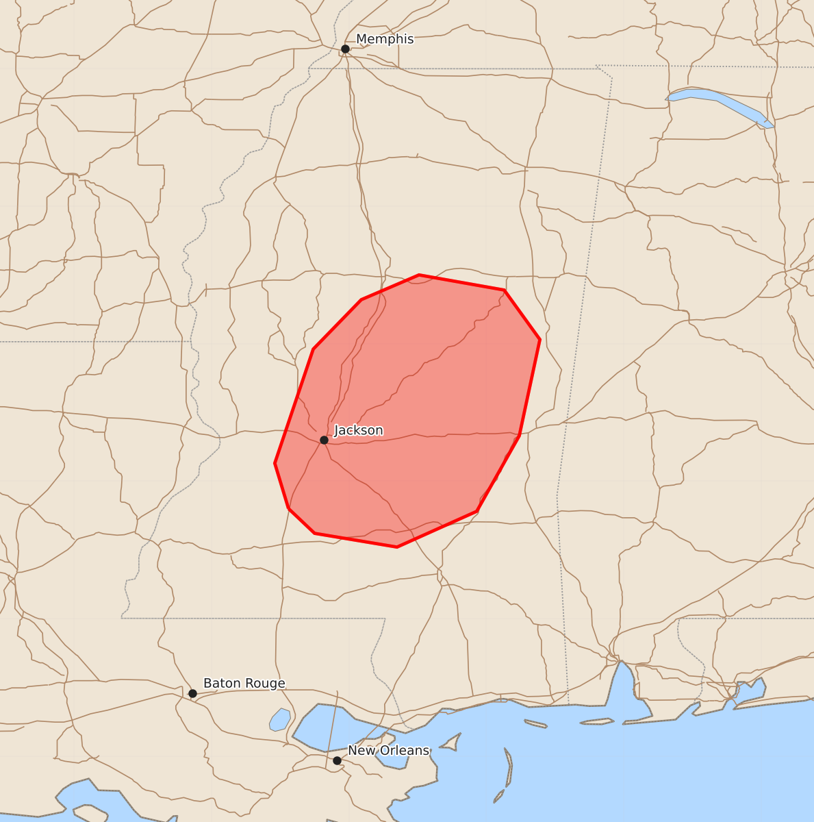
Summary
Strong to severe downbursts with wind gusts of 55 to 70 mph are expected across parts of central Mississippi through late evening.
Product Text
000 ACUS11 KWNS 210141 SWOMCD SPC MCD 210141 MSZ000-210245- Mesoscale Discussion 2063 NWS Storm Prediction Center Norman OK 0841 PM CDT Thu Aug 20 2026 Areas affected...Parts of central Mississippi Concerning...Severe Thunderstorm Watch 606... Valid 210141Z - 210245Z The severe weather threat for Severe Thunderstorm Watch 606 continues. SUMMARY...The risk of strong to severe downbursts will continue for another hour or two. DISCUSSION...The latest radar data from KDGX depicts outflow-dominant thunderstorms, with new cell development along outflow boundaries. The JAN 00Z sounding sampled steep low-level lapse rates and moderate-strong surface-based buoyancy, and despite weak deep-layer flow/shear, this environment remains favorable for strong to severe downbursts. Given the overall lack of convective organization, the severe risk should gradually diminish over the next couple hours as the boundary layer nocturnally cools. ..Weinman.. 08/21/2026 ...Please see www.spc.noaa.gov for graphic product... ATTN...WFO...JAN... LAT...LON 31809044 32139054 32969026 33328991 33508949 33398887 33038861 32338876 31788907 31528965 31629025 31809044 MOST PROBABLE PEAK WIND GUST...55-70 MPH