Mesoscale Discussion 1443
Issued: · Valid: –
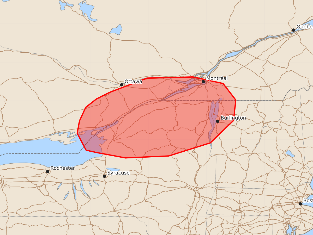
Summary
Strong to isolated severe thunderstorms are expected to move into Upstate New York and northern Vermont this afternoon. These storms may produce wind gusts of up to 60 mph.
Product Text
000 ACUS11 KWNS 022018 SWOMCD SPC MCD 022018 VTZ000-NYZ000-022215- Mesoscale Discussion 1443 NWS Storm Prediction Center Norman OK 0318 PM CDT Thu Jul 02 2026 Areas affected...Upstate New York into Vermont Concerning...Severe potential...Watch unlikely Valid 022018Z - 022215Z Probability of Watch Issuance...20 percent SUMMARY...Strong to isolated severe thunderstorms are expected to move from Ontario into Upstate New York/Vermont. While these storms could be capable of 55-60 MPH winds, weather watch issuance is not anticipated at this time. DISCUSSION...A cluster of thunderstorms in Ontario is expected to move eastward into Upstate New York and portions of northern Vermont this afternoon. MLCAPE > 2500 J/kg and 30-40 kts of deep layer shear suggests continued thunderstorm longevity and intermittent organization that could support strong to severe wind gusts of 55-60 MPH. However, the overall isolated nature of this convection means watch issuance is not anticipated at this time. ..Halbert/Hart.. 07/02/2026 ...Please see www.spc.noaa.gov for graphic product... ATTN...WFO...BTV...ALY...BGM...BUF... LAT...LON 43727662 44167685 44487679 44837663 45057635 45227601 45597504 45627385 45457307 45027274 44497280 43917340 43577448 43527560 43667635 43727662 MOST PROBABLE PEAK WIND GUST...UP TO 60 MPH