Mesoscale Discussion 1512
Issued: · Valid: –
Summary
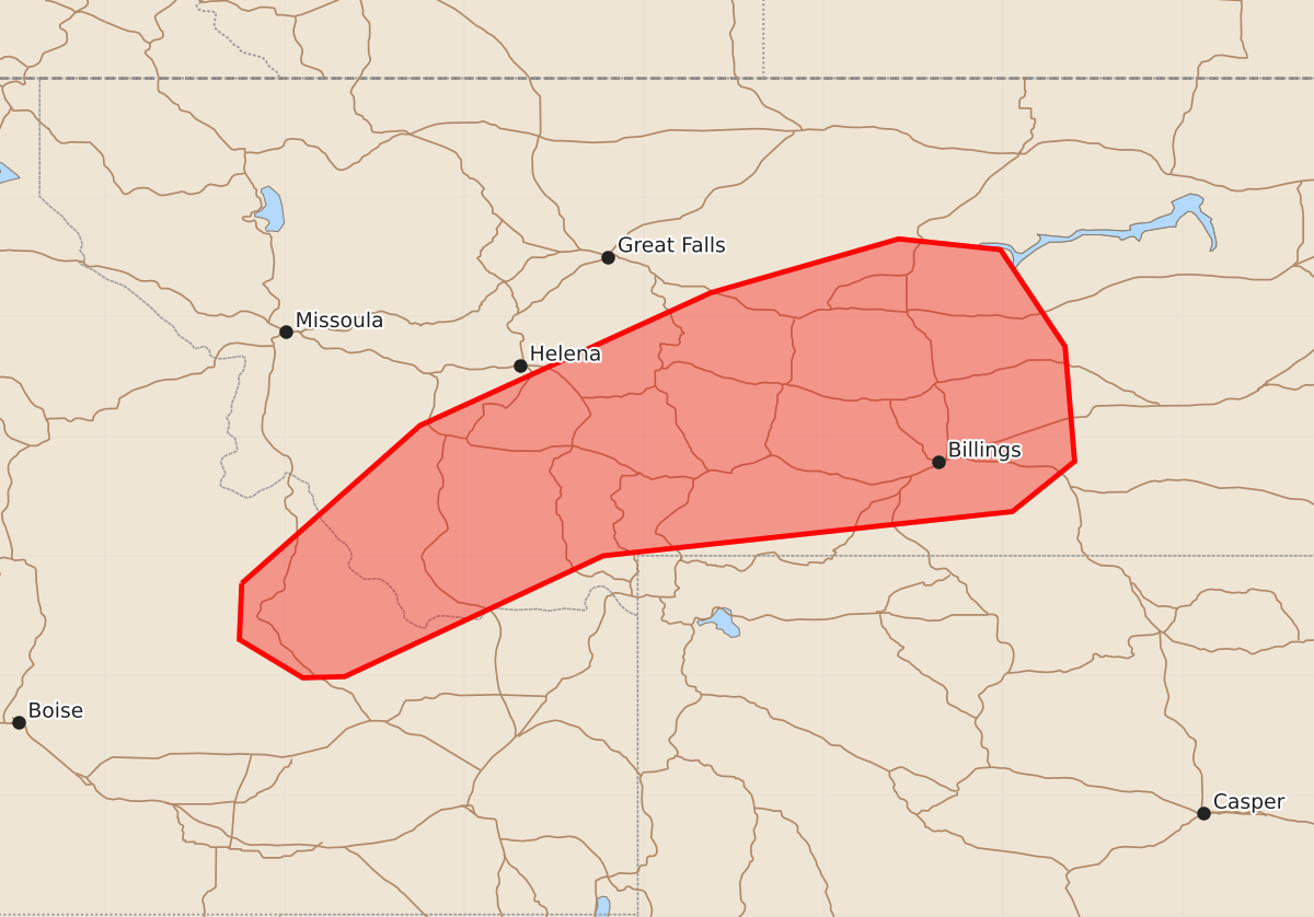
Isolated thunderstorms capable of producing strong wind gusts up to 60 mph will increase across southwest and central Montana from this afternoon through the evening.
Product Text
000 ACUS11 KWNS 051907 SWOMCD SPC MCD 051907 MTZ000-IDZ000-052100- Mesoscale Discussion 1512 NWS Storm Prediction Center Norman OK 0207 PM CDT Sun Jul 05 2026 Areas affected...Southwest into southern/central MT vicinity Concerning...Severe potential...Watch unlikely Valid 051907Z - 052100Z Probability of Watch Issuance...20 percent SUMMARY...Thunderstorms will increase in coverage and intensity through the afternoon while spreading from southwest Montana into central portions of the state through evening. Isolated strong wind gusts will be possible, though a watch is not expected. DISCUSSION...Strong heating into the 80s amid steep midlevel lapse rates is supporting weak destabilization early this afternoon across the higher terrain of southwest MT and vicinity. Isolated thunderstorms are developing over the higher terrain within 30-40 kt effective shear magnitudes, and coverage should increase as storms track toward the northeast. Fast-moving storms may pose a risk for strong winds through the afternoon, particularly given large temperature-dewpoint spread and steepening low-level lapse rates. However, instability will remain weak and limit greater organized severe potential. ..Leitman/Hart.. 07/05/2026 ...Please see www.spc.noaa.gov for graphic product... ATTN...WFO...BYZ...GGW...TFX...PIH...MSO... LAT...LON 44771436 46091287 47201044 47650887 47560802 46750748 45790740 45370792 45001134 43991350 43981385 44301438 44771436 MOST PROBABLE PEAK WIND GUST...UP TO 60 MPH