Mesoscale Discussion 2000
Issued: · Valid: –
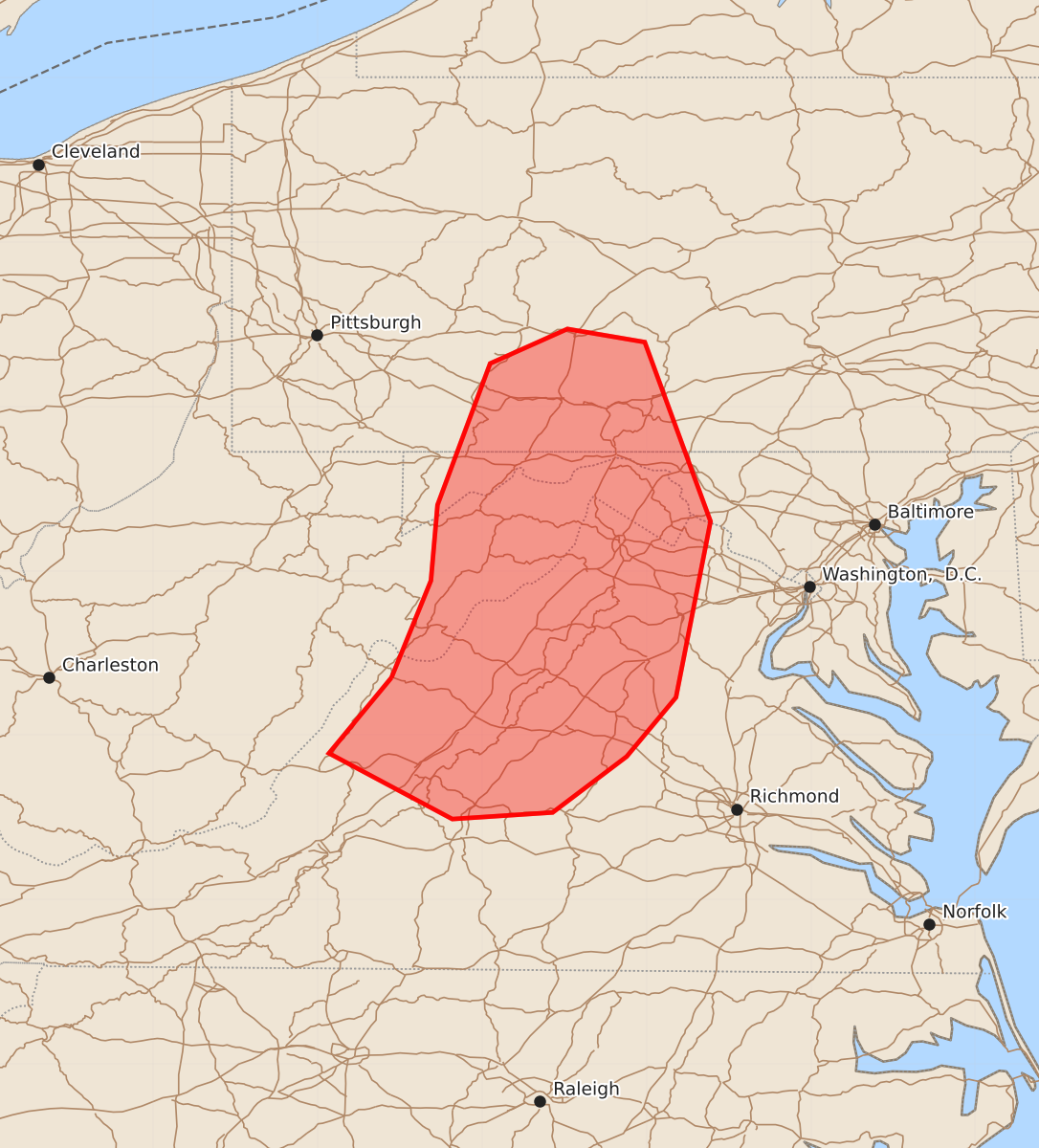
Summary
Severe thunderstorms capable of producing damaging wind gusts and a few brief tornadoes are expected across south-central Pennsylvania, the Maryland and West Virginia Panhandles, and northern Virginia from late afternoon through this evening. The most intense storms may produce wind gusts between 55 and 70 mph.
Product Text
000 ACUS11 KWNS 161929 SWOMCD SPC MCD 161928 MDZ000-VAZ000-PAZ000-WVZ000-162130- Mesoscale Discussion 2000 NWS Storm Prediction Center Norman OK 0228 PM CDT Sun Aug 16 2026 Areas affected...south-central Pennsylvania...the Maryland and West Virginia Panhandles...and northern Virginia Concerning...Severe potential...Watch likely Valid 161928Z - 162130Z Probability of Watch Issuance...80 percent SUMMARY...The threat for severe storms capable of mainly damaging wind gusts is expected to increase late this afternoon into evening. A severe thunderstorm watch is likely. DISCUSSION...In the wake of an MCV moving from south-central into southeast PA, clouds are gradually clearing, allowing for increased diabatic heating this afternoon. When coupled with a moist boundary layer characterized by boundary-layer dewpoints in the upper 60s to mid 70s F, latest objective analysis indicates MLCAPE of 1000-1500 J/kg with decreasing convective inhibition. Additional air mass destabilization is expected through the remainder of the afternoon, allowing ongoing QLCSs to spread east into the discussion area. Damaging wind gusts will be the primary hazard with the most intense storms, especially in the vicinity of any embedded bowing structures that may persist. A brief tornado or two is possible in areas that can maintain more of a southerly wind component, where low-level shear is locally enhanced. ..Mead/Guyer.. 08/16/2026 ...Please see www.spc.noaa.gov for graphic product... ATTN...WFO...AKQ...CTP...LWX...RNK...PBZ... LAT...LON 38357955 38947931 39407927 40267895 40477848 40397801 39307761 38237782 37877812 37537857 37497918 37897993 38357955 MOST PROBABLE PEAK TORNADO INTENSITY...UP TO 90 MPH MOST PROBABLE PEAK WIND GUST...55-70 MPH