Mesoscale Discussion 1820
Issued: · Valid: –
Summary
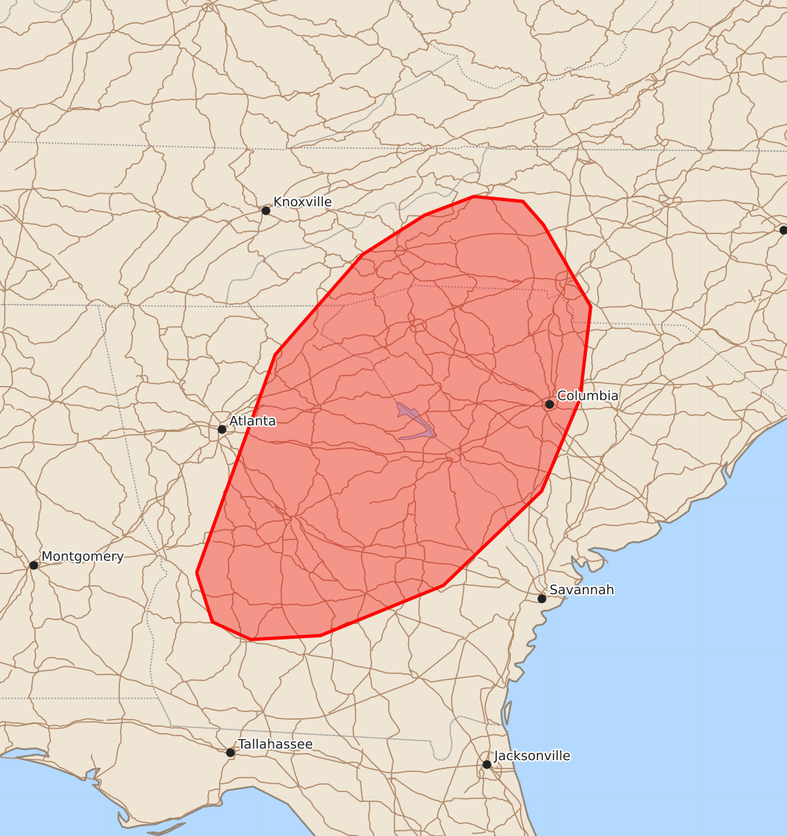
Isolated strong wind gusts up to 60 mph are possible across portions of Georgia, South Carolina, and western North Carolina through this afternoon. The overall severe risk remains limited.
Product Text
000 ACUS11 KWNS 021645 SWOMCD SPC MCD 021645 SCZ000-NCZ000-GAZ000-021845- Mesoscale Discussion 1820 NWS Storm Prediction Center Norman OK 1145 AM CDT Sun Aug 02 2026 Areas affected...portions of Georgia...South Carolina...and western North Carolina Concerning...Severe potential...Watch unlikely Valid 021645Z - 021845Z Probability of Watch Issuance...5 percent SUMMARY...Sporadic, locally strong wind gusts are possible through the afternoon. Overall severe risk is expected to remain limited and a severe thunderstorm watch is not anticipated. DISCUSSION...Thunderstorm clusters are developing within a destabilizing and very moist airmass early this afternoon. While moderate instability will overlie the region, aided by upper 70s dewpoints, lapse rates will remain poor and vertical shear weak. As a result, only transient organized cells/multi-cell clusters are expected. Nevertheless, the rich boundary layer moisture and PW values over 2 inches amid 1000-2500 J/kg MLCAPE will support some potential for isolated strong wind gusts through the afternoon. The overall severe risk is expected to remain limited, and a watch is not anticipated. ..Leitman/Mosier.. 08/02/2026 ...Please see www.spc.noaa.gov for graphic product... ATTN...WFO...RNK...CHS...CAE...GSP...FFC...TAE... LAT...LON 32288462 34508382 35528293 35928230 36118180 36068130 35828109 34998061 34058072 33118111 32158211 31648336 31608407 31788446 32288462 MOST PROBABLE PEAK WIND GUST...UP TO 60 MPH