Mesoscale Discussion 1995
Issued: · Valid: –
Summary
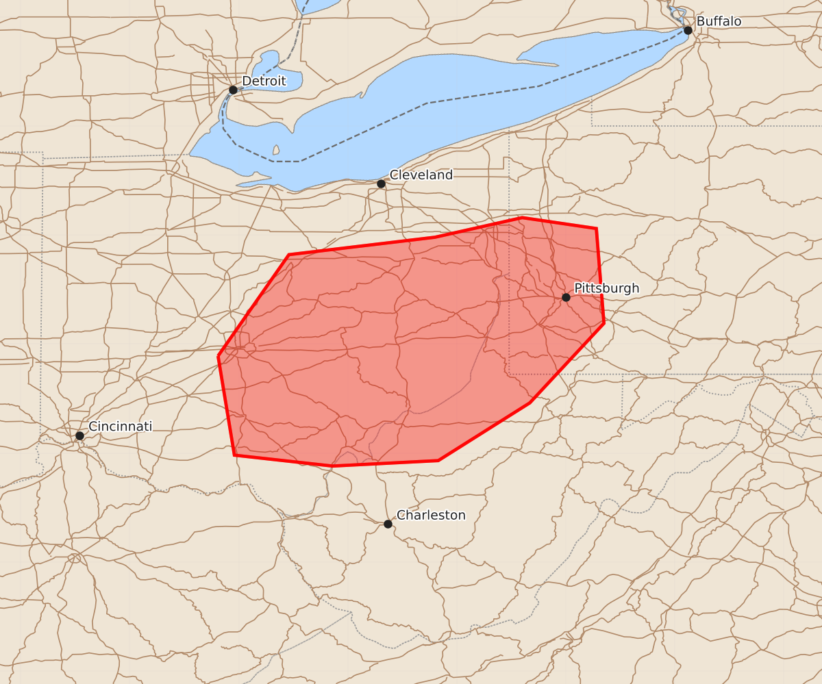
Severe thunderstorms capable of producing damaging wind gusts and a brief tornado are expected to develop across central and eastern Ohio, western Pennsylvania, and northwest West Virginia by early to mid-afternoon.
Product Text
000 ACUS11 KWNS 161556 SWOMCD SPC MCD 161556 PAZ000-WVZ000-OHZ000-161700- Mesoscale Discussion 1995 NWS Storm Prediction Center Norman OK 1056 AM CDT Sun Aug 16 2026 Areas affected...central and eastern Ohio into western Pennsylvania and northwest West Virginia Concerning...Severe potential...Watch likely Valid 161556Z - 161700Z Probability of Watch Issuance...80 percent SUMMARY...The threat for severe weather is expected to increase by early to mid afternoon with damaging wind gusts being the primary hazard. A severe thunderstorm watch is likely. DISCUSSION...Ahead of an MCV moving through far southeast lower MI, clusters of thunderstorms have persisted this morning over northwest into west-central OH. Downstream from that convection, a corridor of relatively fewer clouds should allow for stronger daytime heating to occur this afternoon. When coupled with boundary-layer dew points in the low to mid-70s F, daytime heating is expected to erode remaining convective inhibition, with MLCAPE increasing to 1500-2500+ J/kg. That destabilization process should allow the ongoing storms to intensify by early to mid afternoon from eastern OH into western PA and northwest WV. The current IND VWP is sampling a belt of 30-40 kt westerly winds in the 1-5 km layer, which will conditionally support cold pool organization with an attendant damaging wind risk. A brief tornado is possible, though the veered low-level winds are expected to limit the magnitude of low-level shear and a resultant greater risk. ..Mead/Guyer.. 08/16/2026 ...Please see www.spc.noaa.gov for graphic product... ATTN...WFO...PBZ...RLX...CLE...ILN... LAT...LON 39898319 40828254 40988120 41168040 41067972 40197965 39468033 38938117 38888214 38988304 39898319 MOST PROBABLE PEAK TORNADO INTENSITY...UP TO 90 MPH MOST PROBABLE PEAK WIND GUST...55-70 MPH