Mesoscale Discussion 1865
Issued: · Valid: –
Summary
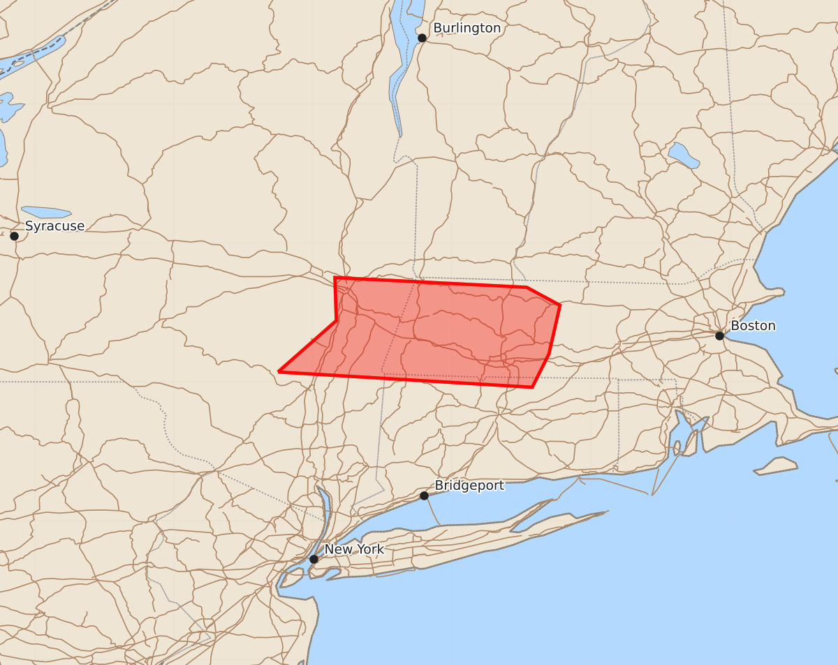
Severe thunderstorms capable of producing wind gusts up to 60 mph are expected to affect parts of eastern New York and western Massachusetts through 8:00 PM CDT. The primary threat of wind damage will be concentrated along a linear segment of storms moving eastward over the next one to two hours.
Product Text
000 ACUS11 KWNS 082002 SWOMCD SPC MCD 082001 MAZ000-CTZ000-NYZ000-082200- Mesoscale Discussion 1865 NWS Storm Prediction Center Norman OK 0301 PM CDT Sat Aug 08 2026 Areas affected...Parts of far eastern New York into western Massachusetts Concerning...Severe Thunderstorm Watch 544... Valid 082001Z - 082200Z The severe weather threat for Severe Thunderstorm Watch 544 continues. SUMMARY...Greatest short-term threat for wind damage will be with a linear segment near the MA/NY border. DISCUSSION...Thunderstorms within WW 544 have generally remained cellular/isolated. Recent development of a linear segment south of Albany will likely be the focus for wind damage potential over the next 1-2 hours. KENX shows some modest low-level velocity signatures and this activity will move eastward into low 90s F temperatures in central Massachusetts. ..Wendt.. 08/08/2026 ...Please see www.spc.noaa.gov for graphic product... ATTN...WFO...BOX...ALY... LAT...LON 42077425 42447383 42757384 42687246 42557222 42207230 41967242 42077425 MOST PROBABLE PEAK WIND GUST...UP TO 60 MPH