Mesoscale Discussion 1880
Issued: · Valid: –
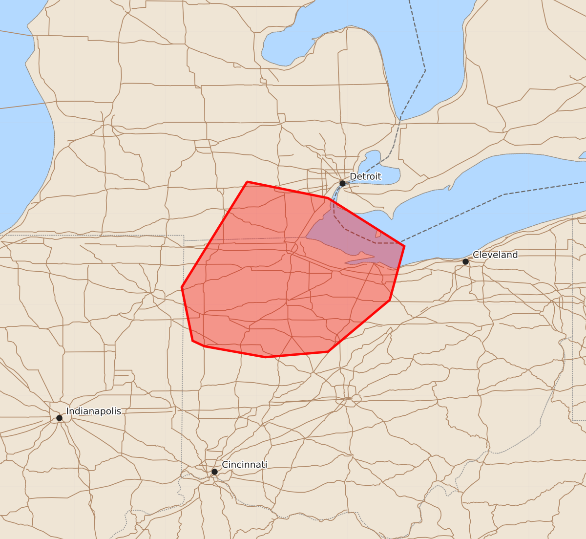
Summary
Damaging wind gusts up to 60 mph may occur across southeast Lower Michigan and northwest Ohio later this afternoon and into the evening.
Product Text
000 ACUS11 KWNS 092040 SWOMCD SPC MCD 092039 OHZ000-MIZ000-INZ000-092245- Mesoscale Discussion 1880 NWS Storm Prediction Center Norman OK 0339 PM CDT Sun Aug 09 2026 Areas affected...Southeast Lower Michigan into northwest Ohio Concerning...Severe potential...Watch possible Valid 092039Z - 092245Z Probability of Watch Issuance...40 percent SUMMARY...The threat for wind damage will eventually spread eastward into parts of western Ohio and southeast Lower Michigan. A watch is possible for parts of these areas later this afternoon. DISCUSSION...Airmass destabilization continues in portions of northwest Ohio into southeast Lower Michigan. An upstream line of convection may impact portions of these areas later this afternoon into the evening. Cloud cover ahead of the convection has slowed the northward progress of the more favorable airmass and the northern portion of the convection has trended downward in the last hour. It is possible that the strongest activity may track farther south where buoyancy is much larger. The greatest risk for damaging winds will probably exist where dewpoints are 70+ F. However, at least isolated wind damage will remain possible along the instability gradient into the evening. A watch is possible for portions of these areas later this afternoon. ..Wendt/Hart.. 08/09/2026 ...Please see www.spc.noaa.gov for graphic product... ATTN...WFO...CLE...ILN...DTX...IWX...GRR... LAT...LON 42358410 42178321 41648237 41058253 40488321 40428390 40548457 40608470 41198482 42358410 MOST PROBABLE PEAK WIND GUST...UP TO 60 MPH